Discover the Matterhorn of the Jura, and the Borne au Lion (a French Resistance stronghold) at the crossroads of the Ain and Jura.
You'll be delighted by the diversity of these trails.
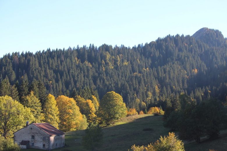
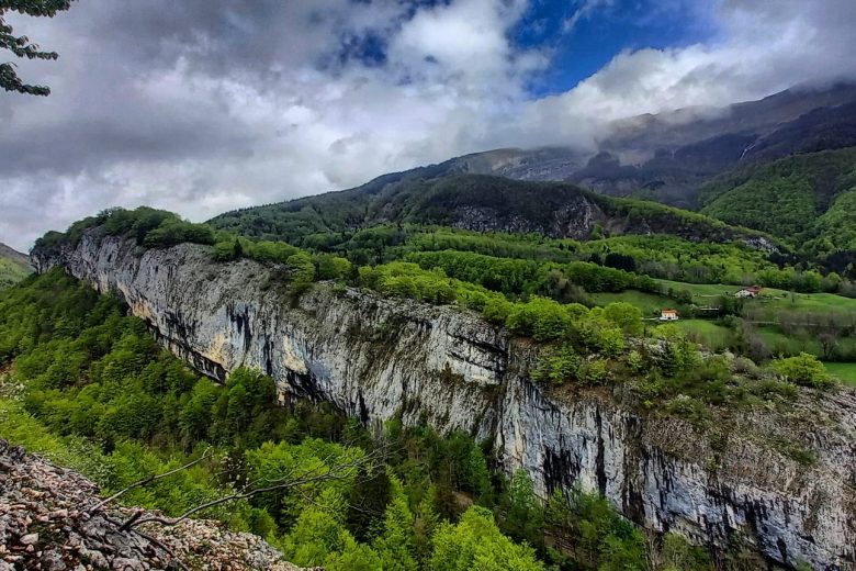
On the way up to Noirecombe, take in the lovely view of the Roche des Hirondelles and the Roche Franche.
The trail takes you directly to the Borne au Lion. This place is rich in history, so stop your connected watch, and take the time to read the explanations given here, you'll learn a lot.
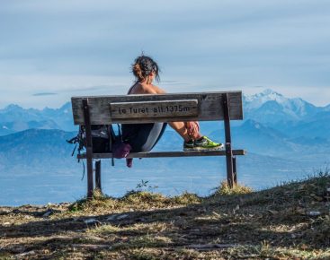
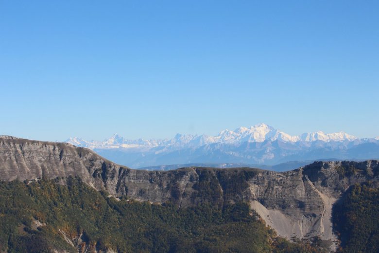
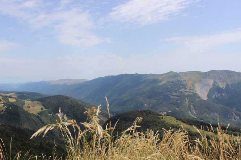
As you continue towards Crêt de Chalam, you'll have to pass through the woods. When you reach the first staircase up to the summit, be aware that there are 190 more to go before you reach the peak at 1545m, and can enjoy the magnificent view of the Haute Chaîne du Jura, the Haut Jura plateau and the Alps.
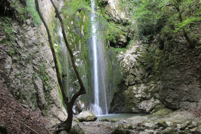
The descent is along the ridge, past the ruins of Grand Mannet. The path finally runs alongside the Forens stream.
Guidebook with maps/step-by-step: Please note : this itinerary is signposted for hiking and not for trail running. Leaving Chézery Forens, head for Noirecombe (yellow PR), the path runs alongside the Valserine river, continue on "le combet" then "fond des près" and "Borne au Lion". Pick up the GRP (red and white) for 200 m, and again follow the PR (yellow) towards crêt de Chalam. The climb to the summit is a 400 m round trip with 191 steps. To reach the summit, continue along the ridges towards Grand Mannet and Petit Mannet, then cascade de l'Etrès and Forens.
More information:
Before setting off :Find out about general and local weather conditions, and make sure there's no precipitation.Find out about the approach to the route, its height, how long it will take to reach the summit and any possible escapes (IGN map, GPS, topo-guide, etc.).Evaluate possible risks by asking mountain professionals, mountain huts and gîtes.Inform someone close to you of your objective, and contact them again in the event of any changes: departure and return times, number of participants with telephone numbers for each, vehicle(s), parking, etc.Avoid setting off alone, and use equipment that is suitable for the activity, adjusted and in good condition: headlamp, complete first-aid kit, survival blanket, etc.In the event of a problem, call 112 (European emergency number).
Itinerary
In detail
- Distance: 14.4 km
- Markup: BALISE
- Elevation gain : 963 m
- Negative elevation gain : 963 m
- Daily duration: 150 min
- Type of route: BOUCLE
- Beaconing accuracy: PR Marked yellow.
- Tricky passage: Before setting off:Find out about general and local weather conditions, making sure there's no precipitation.Find out about the approach to the route, its height, how long it will take to reach the summit and any possible escapes (IGN map, GPS, topo-guide, etc.).Evaluate possible risks by asking mountain professionals, refuges and gîtes.Inform someone close to you of your objective, and contact them again in the event of any changes: departure and return times, number of participants with telephone numbers for each, vehicle(s), parking, etc.Avoid setting off alone, and use equipment that is suitable for the activity, adjusted and in good condition: headlamp, complete first-aid kit, survival blanket, etc.In the event of a problem, call 112 (European emergency number).
- Nature of the land: Rock
- Nature of the land: Stone
- Nature of the land: Ground
- Nature of the land: Grit
- Nature of the land: Not suitable for strollers
Opening
From 01/04 to 30/11.
Subject to favorable weather.
Rates
Free access.
Facilities & services
Facilities
- Car park
- Free car park
Services
- Pets welcome
Host language(s)
- French

