


Please note : this route is signposted for hiking, not trail running.
From Chézery (A), follow the signs for “La Rivière”, passing the police station.
Continue in this direction, ignoring the Moulin Thomas sign (B) at a crossroads. When you reach the hamlet of “la Rivière” (C), cross the road and climb up to a cable-stayed footbridge over the Troubléry stream (D).
From here, follow the signs for “Le Reculet” (note that at Verney-Dessus (E), the path climbs to the right of the houses). Pass the Chalets de Lachat (F) and enter the Thoiry-Derrière mountain pasture (G), where the Reculet cross (H) is visible.
The climb ends on the northern ridge. Descend southwards along the GR. Skirt the alpine chalets of Polvette (I) and Capitaine (J), pass the “Pierre de la Lune” (K) and arrive at the “Passage des Chezerands” (L) close to the Gralet chalet.
A yellow-marked path immediately descends into the forest, crossing a forest track several times to reach the hamlet of Rosset (M), Grande Bossonaz (N), Bellaigue (O) and then the village.
Itinerary details
Description
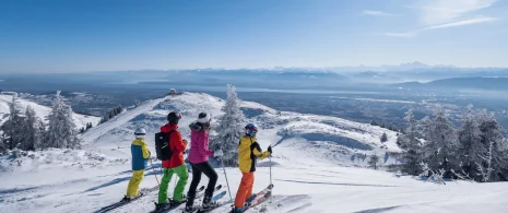
From the banks of France’s 1st wild river to the summit of the Haute Chaîne du Jura, nature is yours to discover!
The route is located in the Haute Chaîne du Jura National Nature Reserve, so please respect the specific regulations for this area, which can be consulted at https://www.rnn-hautechainedujura.fr/reglementation/interdits-en-rnn/. Among these rules: dogs are forbidden, even on a leash!