


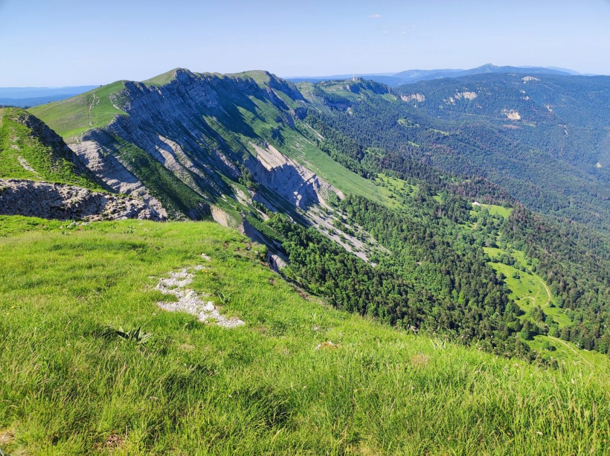
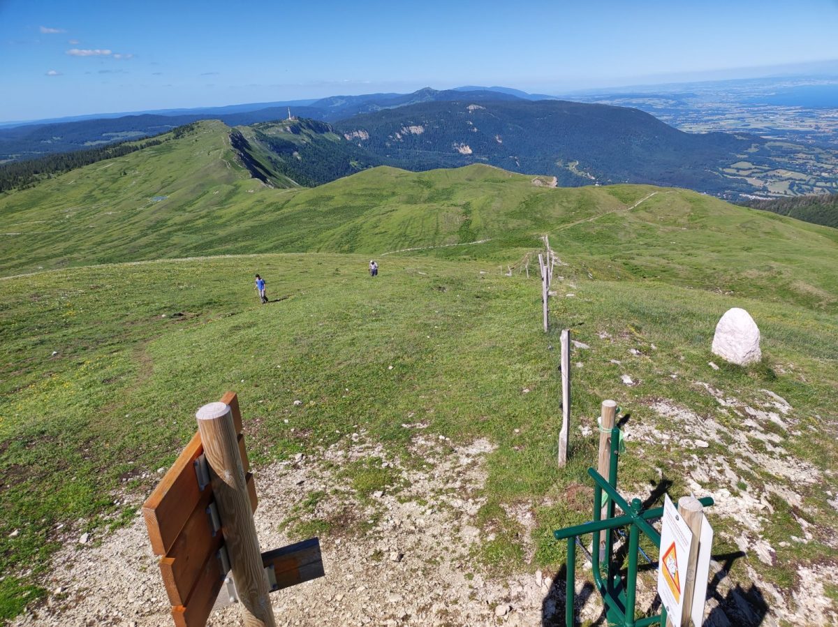
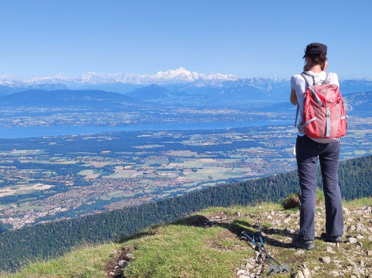

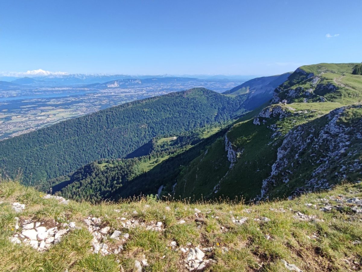
From the center of La Faucille (1323 m), discover one of the most beautiful stretches of ridge in the Haute Chaîne du Jura.
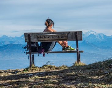
A magnificent traverse of the ridges, this hike will delight your eyes. Keep an eye out for chamois. Magnificent crossing on the crests, this hike will delight your eyes, keep an eye out, you may see chamois.
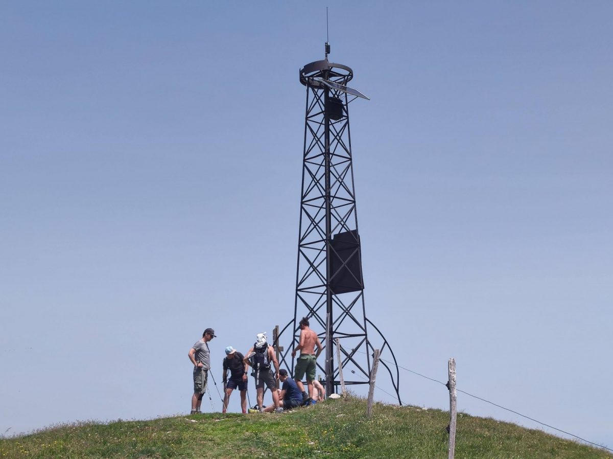
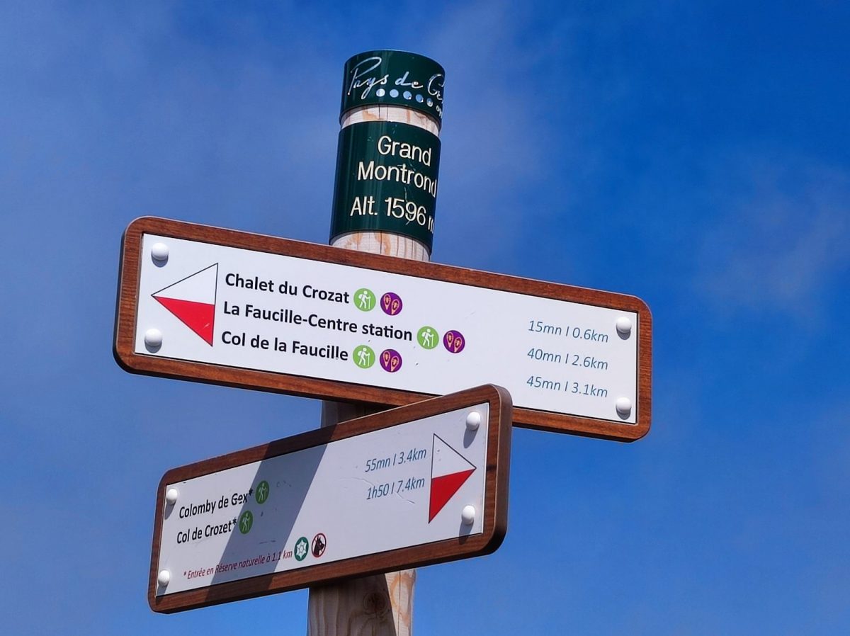
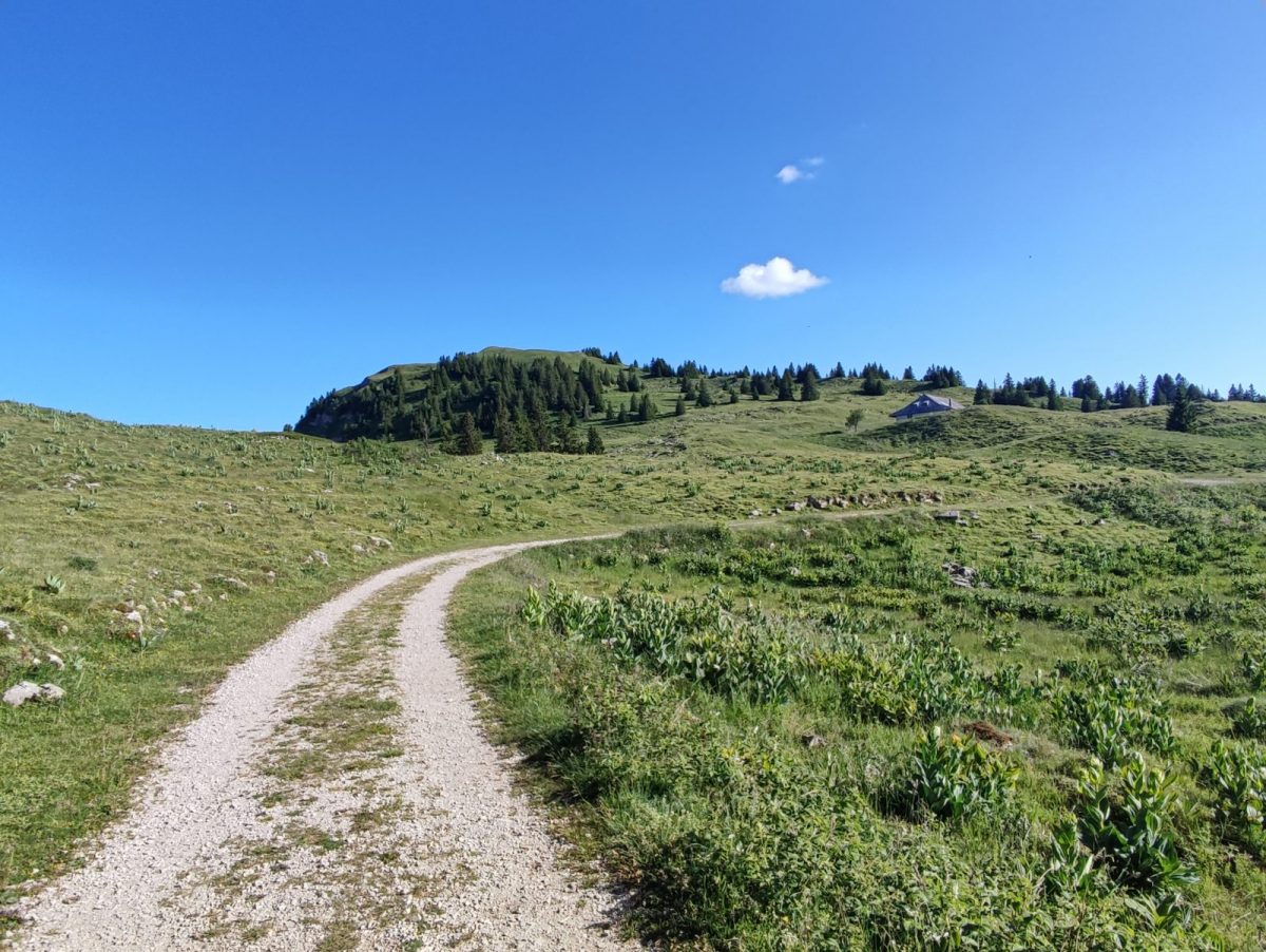
Guidebook with maps/step-by-step: From the center of La Faucille, head towards the Hôtel la Petite Chaumière, then towards the ski-lift chalet, go up towards the Luge sur Rail building, then turn right onto the asphalt road towards "Tyrolienne", walk for about 10 minutes on this asphalt road. In a wide bend, at the hiking sign, take the path that climbs up through the undergrowth towards "Grand Montrond". After 20-25 minutes, the path leaves the forest to join a ski slope (Les Gelinottes ski lift), and continue along the open part of the path until you reach a chalet (Le Crozat) at the foot of Grand Montrond. In fine weather, the sheep graze in the alpine pastures around Le Crozat (with patous: herding dogs). The trail then climbs up the side of Grand Montrond. In about 20 minutes, you'll reach the summit of Grand Montrond at 1596 m. Continue on the crest path along the GR9 (red/white markings) southwards (to the right as you reach the summit), as far as Colomby de Gex (small pylon in the distance). The return is identical to the outward journey.
More information:
Safety instructions:This trail is located in the Haute Chaîne du Jura National Nature Reserve, so please respect its regulations:Before setting off :- Check the general and local weather forecast, and make sure there's no precipitation.- Find out about the approach route, the height of the itinerary, the time it will take to complete the climb, and any possible escapes (IGN map, GPS, topo-guide, etc.).- Evaluate possible risks by asking mountain professionals, mountain huts and gîtes.- Inform someone close to you of your objective, and contact them again in the event of any changes: departure and return times, number of participants with telephone numbers for each, vehicle(s), parking, etc.- Avoid setting off alone, and use equipment that is suitable for the activity, adjusted and in good condition: headlamp, complete first-aid kit, survival blanket, etc.In the event of a problem, call 112 (European emergency number).
Itinerary
In detail
- Distance: 13.2 km
- Markup: BALISE
- Elevation gain : 613 m
- Negative elevation gain : 613 m
- Daily duration: 280 min
- Type of route: ALLER_RETOUR
- Beaconing accuracy: Follow the yellow PR signs
- Nature of the land: Rock
- Nature of the land: Stone
- Nature of the land: Ground
- Nature of the land: Grit
- Nature of the land: Not suitable for strollers
Opening
From 01/04 to 30/11.
Subject to favorable weather.
Rates
Free access.
Facilities & services
Facilities
- Car park
- Free car park
Host language(s)
- French
