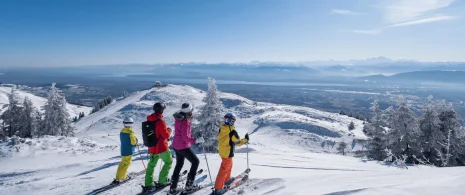
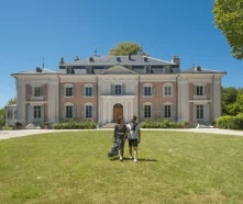
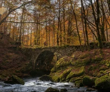
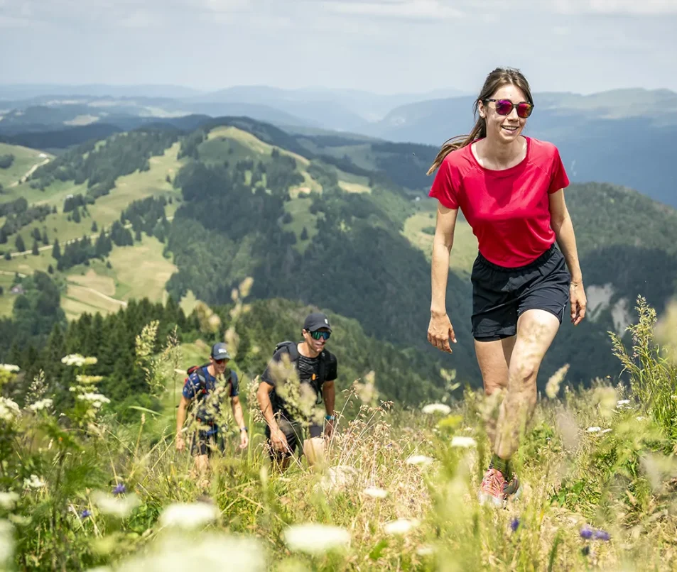
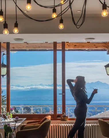
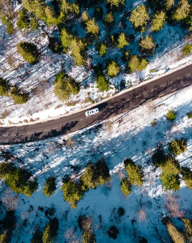
With its rich historical and natural heritage, this area offers a wide range of landscapes! Discover these treasures on walks along the riverbanks or hikes in the mountains.
Good to know!
You can also find our routes on the OutdoorActive, Komoot and VisioRando apps!
1 to 12 result(s) on 30
Share your research
The link has been copied to your clipboard.
View Map
Refine your search
Km
Km
Day
Day
- Panoramic view 21
- In a nature reserve 16
- Mountain view 14
- Lake view 11
- Forest location 10
- Presence of livestock and guard dogs 8
- Mountain location 7
- In the country 6
- Close to GR footpath 5
- Overview on river 4
- Resort centre 4
- Riverside 3
- Waterfall view 3
- Waterside 3
- River 5 km away 2
- Close to a public transportation 1
- Village 2 km away 1
- Village centre 1
+ Show more
Filters
Hiking: Crozet to Crêt de la Neige, at the top of the Jura peaks
- 08h00
- 1077 D+
- 1077 D+
- 17.9 km
- Crozet
Level easy
Hiking: Gex – Vesancy – Chapelle Riantmont – Variant with dogs
- 03h15
- 242 D+
- 242 D+
- 9.7 km
- Gex
Level medium
Menthières hiking trail: col de Menthières – Chalet du Sac
- 04h30
- 548 D+
- 548 D+
- 10.4 km
- Chézery-Forens
Collapse Map
Mask
Prepare your stay
Did you find this content useful?
Thank you
Thank you for taking the time to let us know that you found this content useful. Your encouragement is important to us, and your feedback helps us to improve.
Thank you
Thank you for taking the time to let us know that this content was not useful to you. We apologise for any inconvenience.
Share this content
Share this content
