


Discover it for yourself!
a lovely, quick and easy walk with a view of Geneva, part of the Alps including Mont Blanc and the Salève side
A family hike, accessible to all, with a handsome reward on arrival.
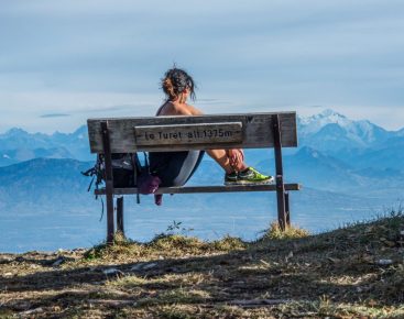
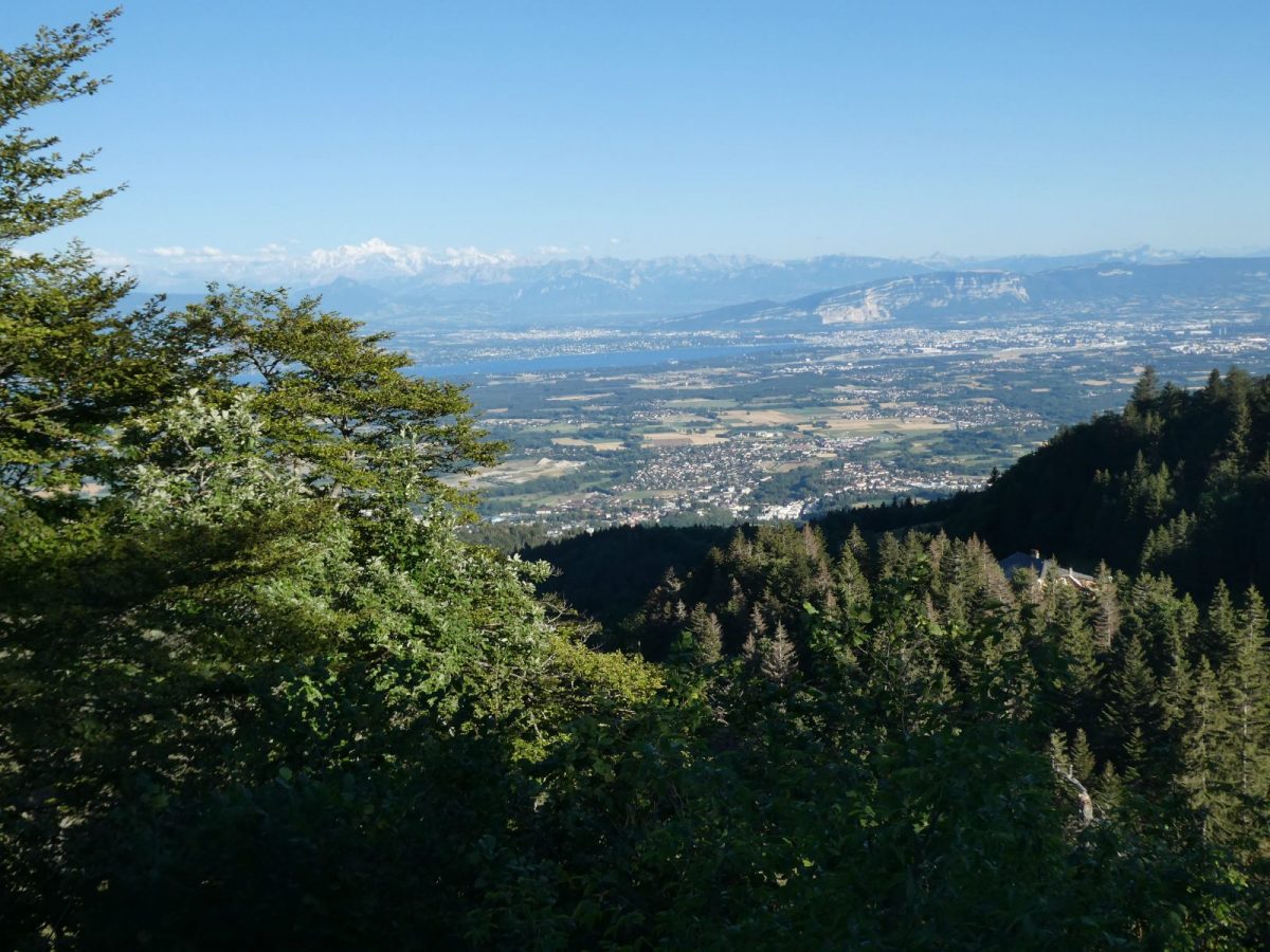
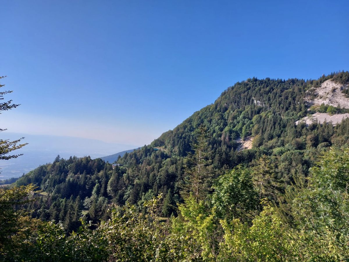
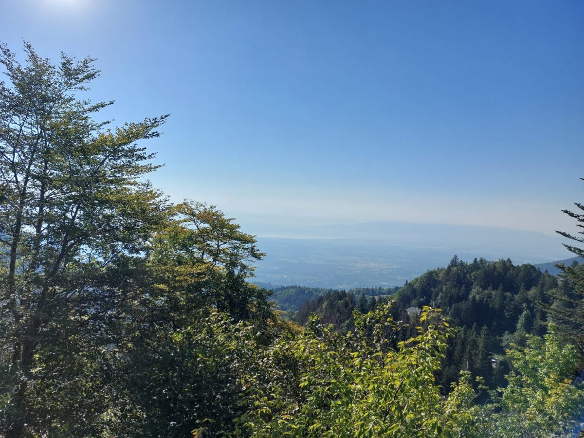
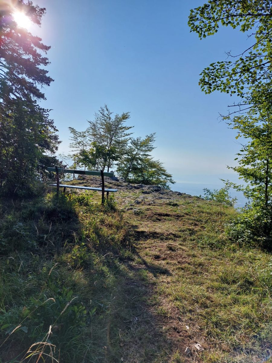
The view to the east is obscured by trees, but you can still see the panorama of the Mont-Blanc massif as far as Geneva and the Salève.
The panorama overlooks the La Mainaz area.
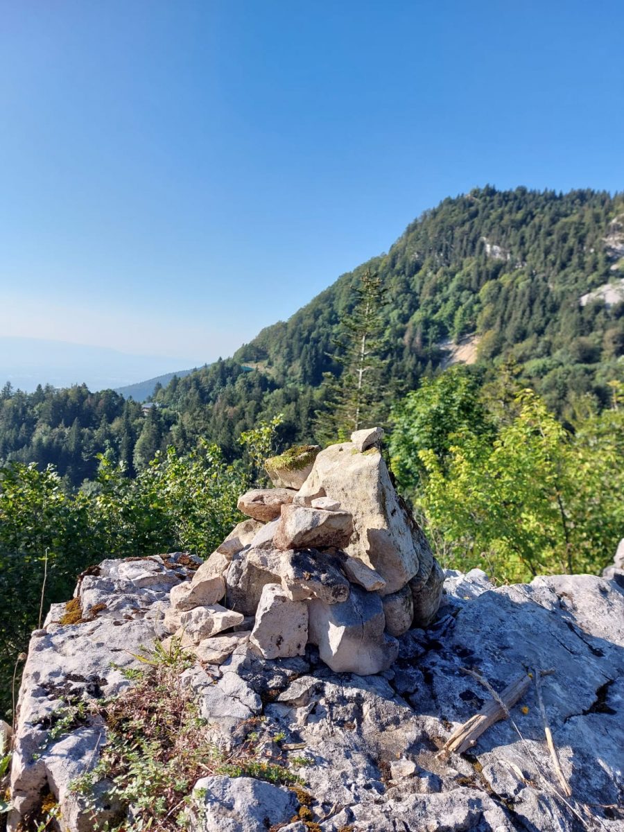
The route follows a gravel road and then a footpath.
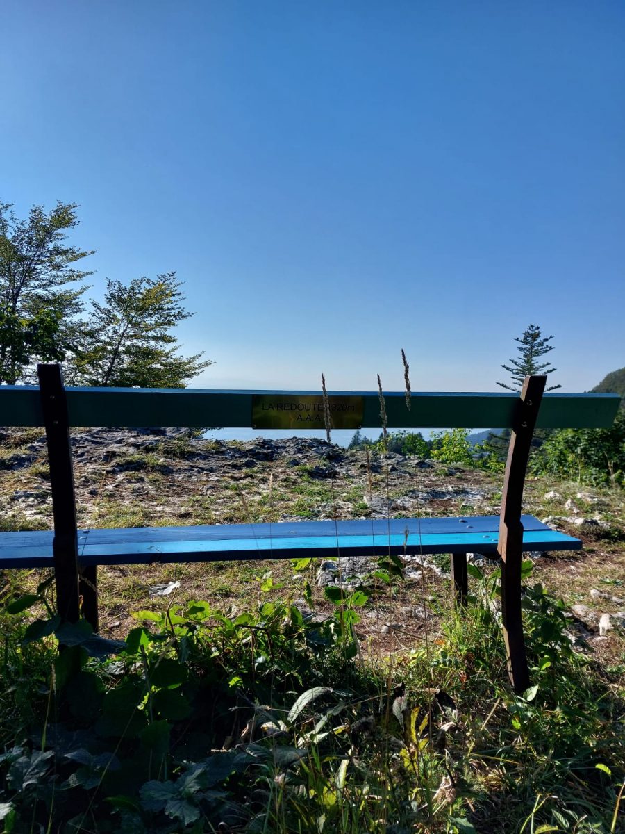
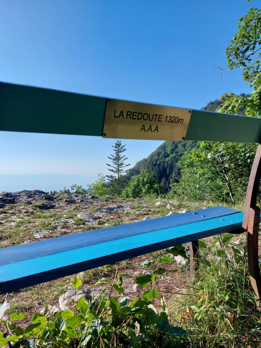
Guidebook with maps/step-by-step: Departure from La Faucille. Access from the parking lots in the center of La Faucille.The route starts on the exit road that joins the 1005 national highway. At 1323 m a.s.l., on the edge of the small gravel road, a path leads off to the right with a "La Redoute" sign. This is the starting point. On foot: follow the path downhill, then join a small gravel road in 5 minutes. Just before the junction with this tarmac road, fork left (signposted) onto the dirt track leading to a path which continues through the forest and takes 5 minutes to reach the viewpoint with its bench. The return is identical to the outward journey.The view to the east is obscured by trees, but the panorama stretches from the Mont-Blanc massif to Geneva and the Salève.The panorama overlooks the La Mainaz area.The route follows a gravel road and then the footpath.
More information:
Before setting off:- Find out about general and local weather conditions, making sure there's no precipitation.- Find out about the approach to the route, its height, how long it will take to reach the summit and any possible escapes (IGN map, GPS, topo-guide, etc.).- Evaluate possible risks by asking mountain professionals, refuges and gîtes.- Inform someone close to you of your objective, and contact them again in the event of any changes: departure and return times, number of participants with telephone numbers for each, vehicle(s), parking, etc.- Avoid setting off alone, and use equipment that is suitable for the activity, adjusted and in good condition: headlamp, complete first-aid kit, survival blanket, etc.In the event of a problem, call 112 (European emergency number).
Itinerary
In detail
- Distance: 0.9 km
- Markup: BALISE
- Elevation gain : 21 m
- Negative elevation gain : 21 m
- Daily duration: 18 min
- Type of route: ALLER_RETOUR
- Beaconing accuracy: Yellow PR markings.
- Nature of the land: Stone
- Nature of the land: Ground
- Nature of the land: Hard coating (tar, cement, flooring)
- Nature of the land: Grit
- Nature of the land: Not suitable for strollers
Opening
From 01/05 to 30/11.
Subject to favorable weather.
Rates
Free access.
Facilities & services
Facilities
- Car park
- Free car park
Services
- Pets welcome
Host language(s)
- French
