
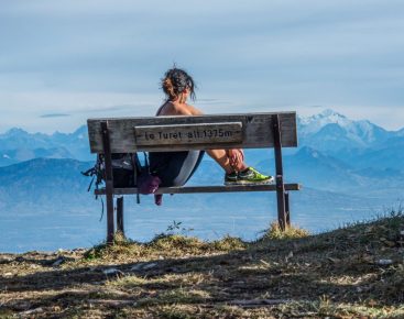


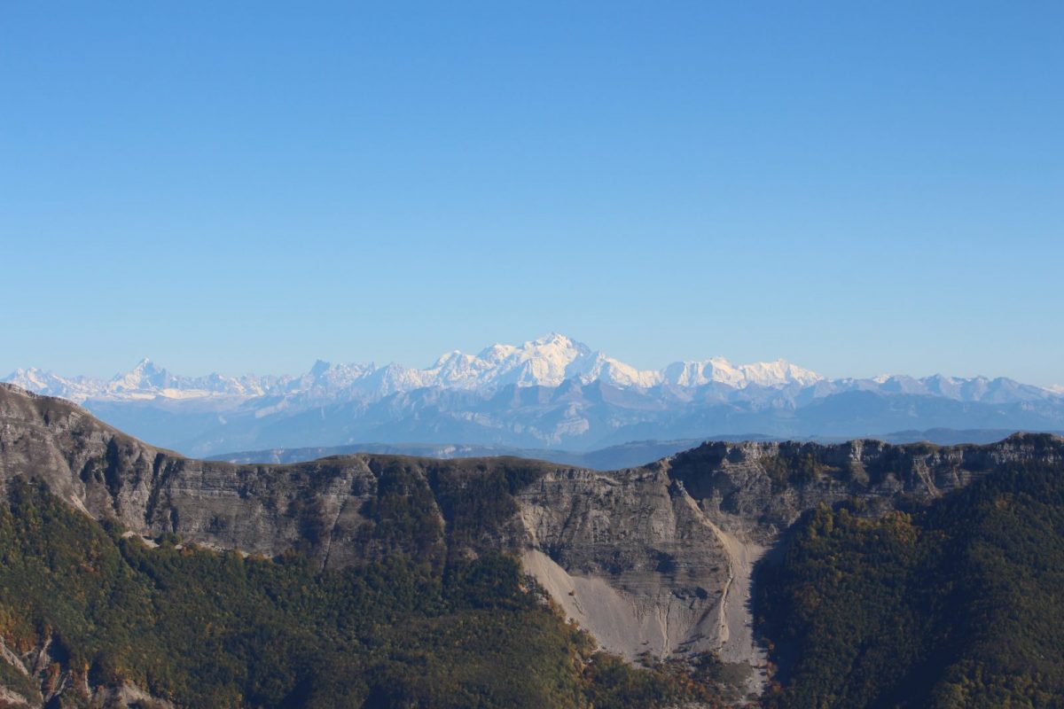
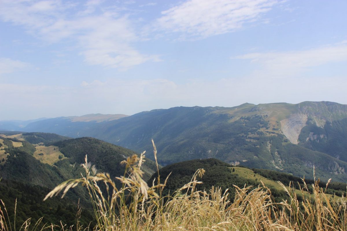
The Crêt de Chalam is a must-see peak in the Jura Massif, with views over the Valserine valley, the Haute Chaîne du Jura, and the icing on the cake, Mont Blanc.
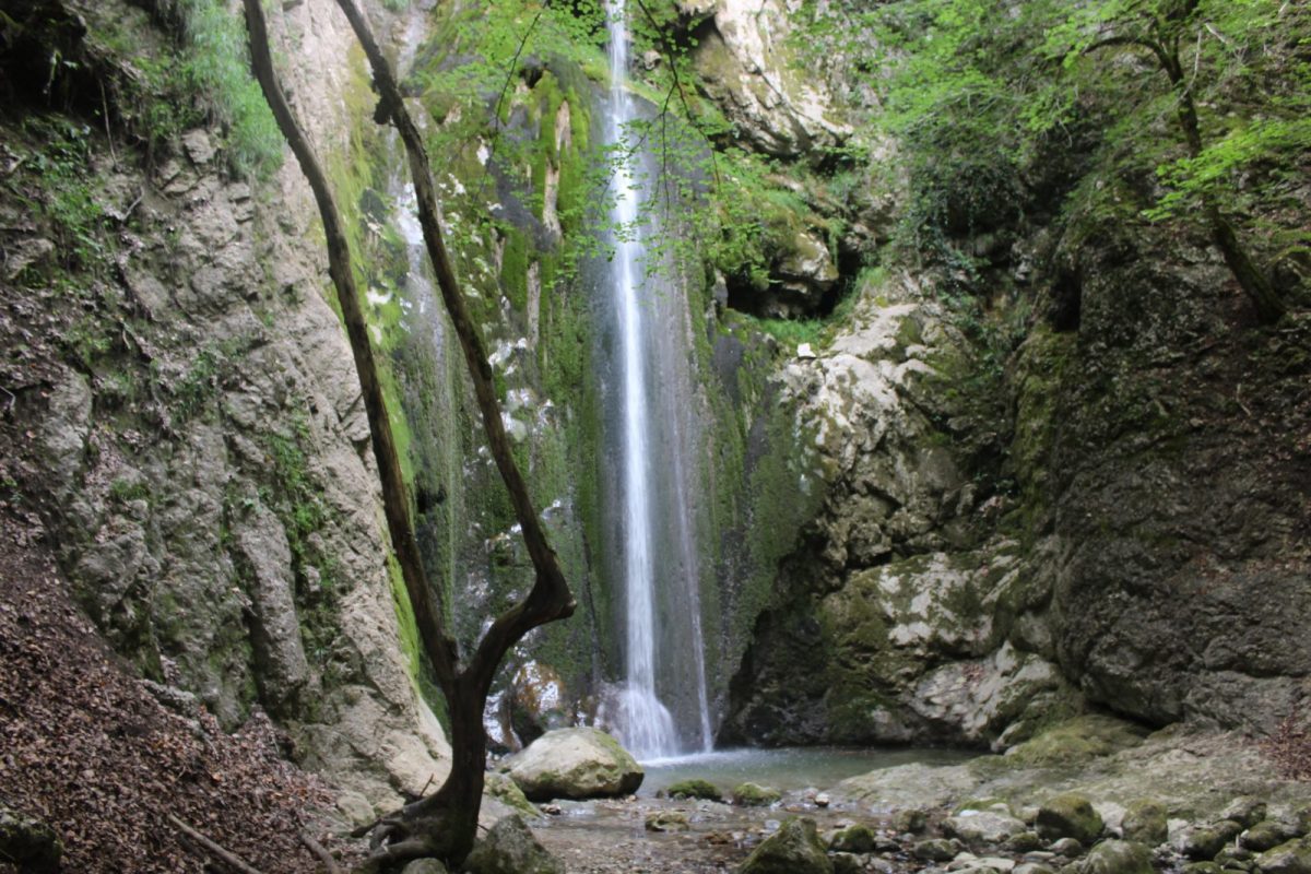
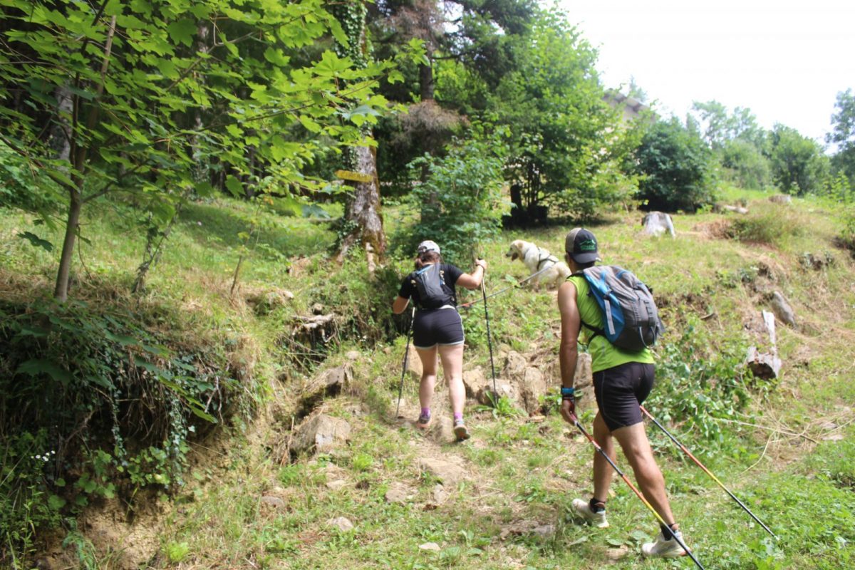
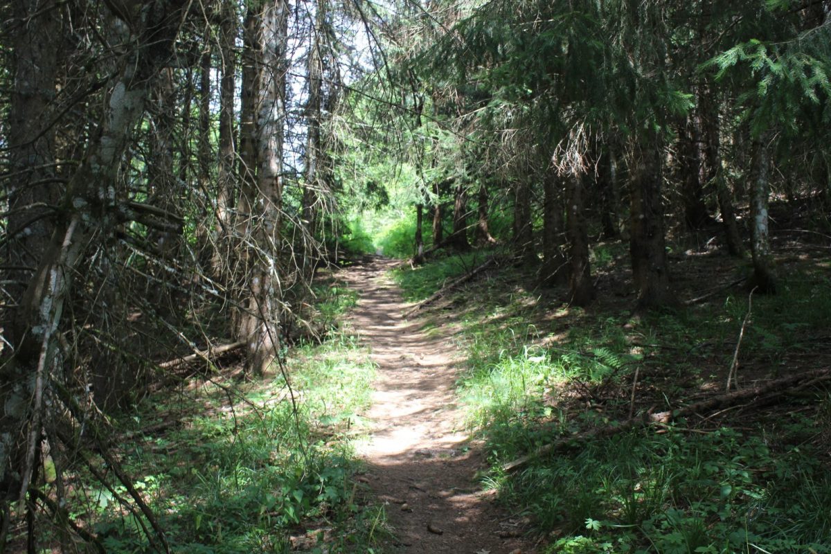
Departure from the hamlet of "Forens", with a steep climb. The first part is in the forest, until you reach the ridge. In the last few kilometers, the climb ends with a few steps. At the summit, a fabulous view awaits you! On the way back, don't forget to stop at the Etrès waterfall, which is a sight to behold!
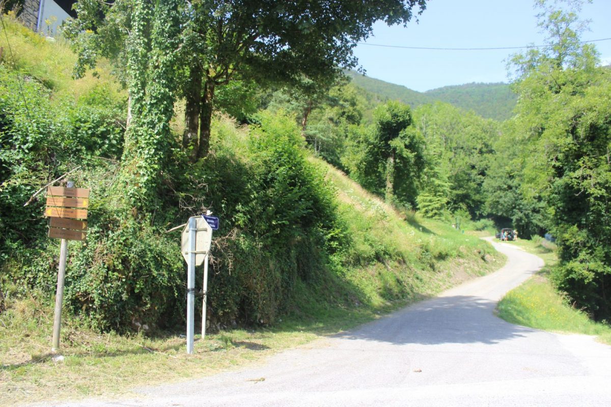
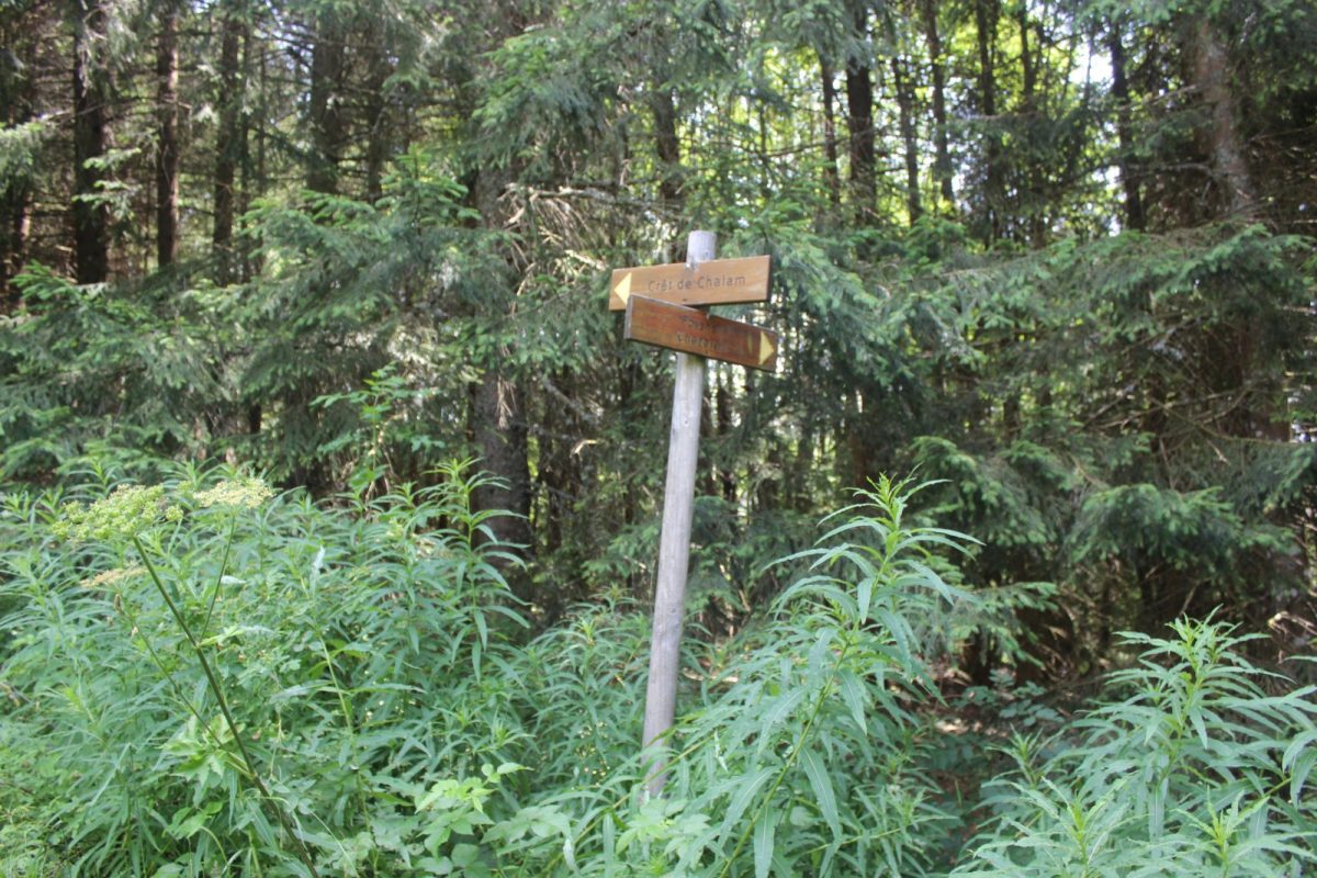
Guidebook with maps/step-by-step: The starting point is located in Forens on the RD14 near a bridge crossing the Forens stream (park near the bus stop).(D/A.) In the direction of Chézery and just before the bridge, take a tarmac path on the left which quickly slopes upwards (a sign indicates access to the Crêt de Chalam in 3 h.). As you go along, you'll notice the entrance to a cave whose access is blocked off. An unpaved path overhangs the stream and continues uphill. At an intersection, a sign on the right points the way to Cascade des Êtrés, 10 min away. You can make a short detour here if you wish. Otherwise, continue straight ahead towards Crêt de Chalam. Cross the bridge (there's a stop sign and a one-way sign). From this point onwards, the path becomes steeper. Near Le Petit Mannet (under restoration at the time of my visit), a path to the left of the house begins to climb steeply. (with the advantage of being in undergrowth). A little further on, you pass ruins corresponding to the Grand Mannet. You then continue for quite a while on the steep path, still in the undergrowth. Once you're out of the forest, you'll be able to tell that the summit isn't too far away. You'll reach it via a few medium-quality steps. Enjoy the view from Crêt de Chalam and its 2 orientation tables: to the east, you can see the imposing Monts du Jura range in the foreground (Crêt de la Neige - 1,720 m, Le Reculet - 1,718 m, Colomby de Gex - 1,688 m, La Dôle - 1,677 m, etc.). If you're lucky, you may even catch a glimpse of Mont-Blanc. Return by the same route.
More information:
Before setting off:- Find out about general and local weather conditions, making sure there's no precipitation.- Find out about the approach to the route, its height, how long it will take to reach the summit and any possible escapes (IGN map, GPS, topo-guide, etc.).- Evaluate possible risks by asking mountain professionals, refuges and gîtes.- Inform someone close to you of your objective, and contact them again in the event of any changes: departure and return times, number of participants with telephone numbers for each, vehicle(s), parking, etc.- Avoid setting off alone, and use equipment that is suitable for the activity, adjusted and in good condition: headlamp, complete first-aid kit, survival blanket, etc.In the event of a problem, call 112 (European emergency number).
Itinerary
In detail
- Distance: 9.4 km
- Markup: BALISE
- Elevation gain : 947 m
- Negative elevation gain : 947 m
- Daily duration: 180 min
- Type of route: ALLER_RETOUR
- Beaconing accuracy: Yellow PR markings.
- Nature of the land: Stone
- Nature of the land: Ground
- Nature of the land: Hard coating (tar, cement, flooring)
- Nature of the land: Grit
- Nature of the land: Not suitable for strollers
Opening
From 01/04 to 30/11.
Subject to favorable weather.
Rates
Free access.
Facilities & services
Facilities
- Car park
- Free car park
Services
- Pets welcome
Host language(s)
- French
