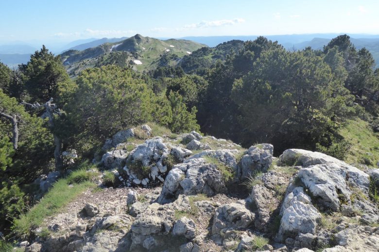
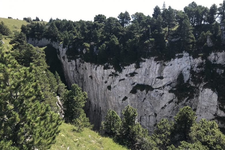
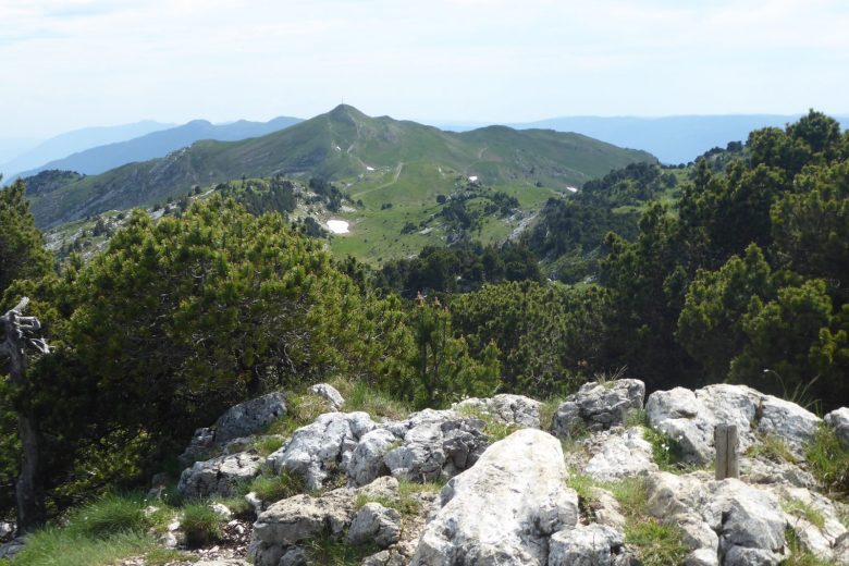
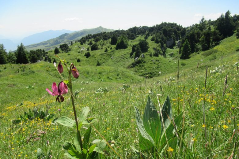
From the banks of the "La Valserine" river to the 2 highest peaks in the Jura Massif, this challenging route offers a fine gradient in a rich, wild and unspoilt natural environment. A must for good walkers!
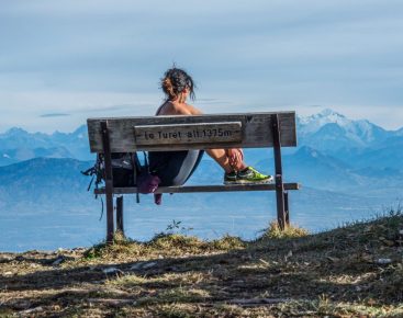
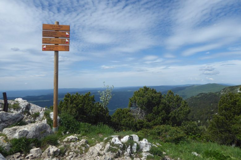
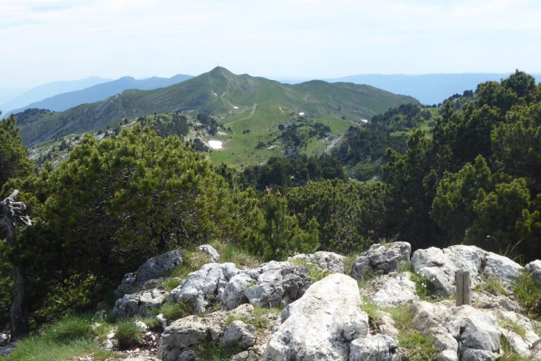
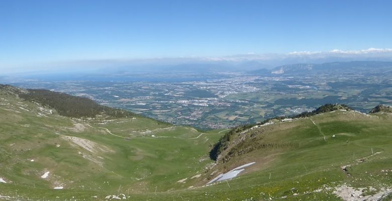
A hike to the highest peak in the Jura Mountains, with breathtaking panoramic views of the Alps, Lake Geneva and the Jura.
Between Le Reculet and Le Crêt de la neige, in the hollow of a combe, walkers can see the footprint of a former high-altitude village. The 20 barns encircled a central building where cheese was made. This hamlet was granted to the commune of Thoiry by Count Amédée de Savoie on October 4, 1394. The combe is called "de la maison neuve" or "du desert".
Part of the route lies within the Haute Chaine du Jura National Nature Reserve. It also runs alongside a wildlife tranquility zone (active from December 15 to June 30). Please check the regulations before setting off.
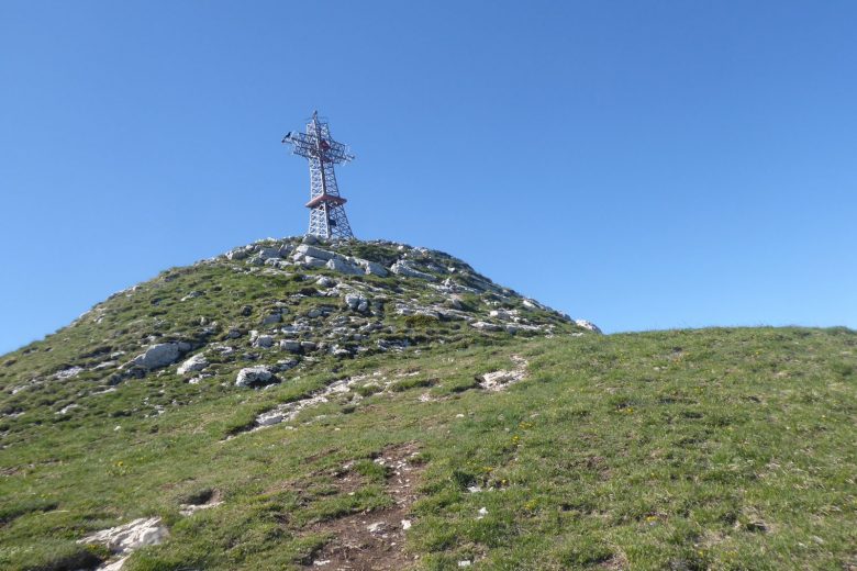
Guidebook with maps/step-by-step: From the village of Lélex (A), follow the signs to Vieille Chapelle (B), then take the GR long-distance hiking trail to Pont de la Fruitière (C) and then Niaizet (D).Passing a peat bog, continue along the wide path to Pont du Niaizet (E), then climb to Plat des Menues (F), passing an old customs office on the right.Here begins the "32 Contours" path (32 bends) leading to Thoiry-Derrière (G) and then to the Reculet cross (erected 1892) (H). Return to the previous crossroads, then take the GR towards Crêt de la Neige (I), considered the highest point in the Jura massif at 1720m. Continue towards Grand Crêt; at "Sous le Crêt" (J), cross the turnstile and descend on the GR towards Brillones d'en Haut (K). Turn left to Les Brulats-Frésy (L), then right to descend to Chalet du Ratou (M), then Lélex.
More information:
Before setting off:- Find out about general and local weather conditions, making sure there's no precipitation.- Find out about the approach to the route, its height, how long it will take to reach the summit and any possible escapes (IGN map, GPS, topo-guide, etc.).- Evaluate possible risks by asking mountain professionals, refuges and gîtes.- Inform someone close to you of your objective, and contact them again in the event of any changes: departure and return times, number of participants with telephone numbers for each, vehicle(s), parking, etc.- Avoid setting off alone, and use equipment that is suitable for the activity, adjusted and in good condition: headlamp, complete first-aid kit, survival blanket, etc.In the event of a problem, call 112 (European emergency number).
Itinerary
In detail
- Distance: 17.5 km
- Markup: BALISE
- Elevation gain : 1095 m
- Negative elevation gain : 958 m
- Daily duration: 420 min
- Type of route: BOUCLE
- Beaconing accuracy: Several markings to take into account: The GR9 grand tour de la Valserine, PR in yellow.
Opening
From 01/04 to 30/11.
Rates
Free access.
Facilities & services
Facilities
- Car park
- Free car park
- Public WC
Host language(s)
- French

