


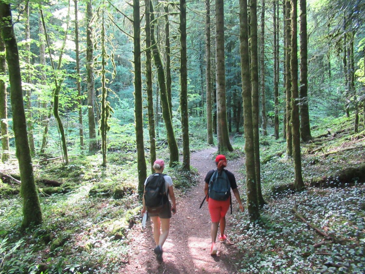
This forest trail is an ideal way to recharge your batteries on the banks of the Journans and at the foot of the Jura mountains. It's also an opportunity to discover the "Au fil du bois" interpretation trail.
This hike takes you to the site of the Portes Sarrazines.
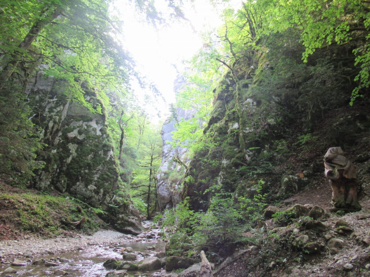
Les portes Sarrazines (Saracen gates): 19th-century legend has it that the Gessians took refuge beyond these stone gates during the Saracen invasions of the 7th and 9th centuries.
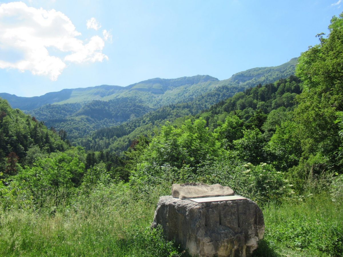
This circuit is located in the PNR du Haut Jura, and passes through a protected area:
the Haute Chaîne du Jura National Nature Reserve. Please respect the regulations
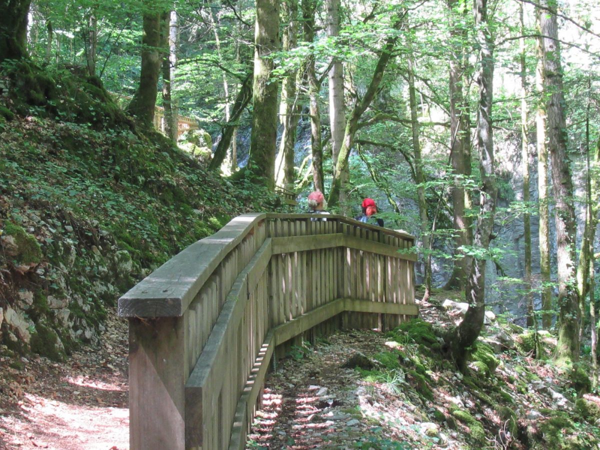
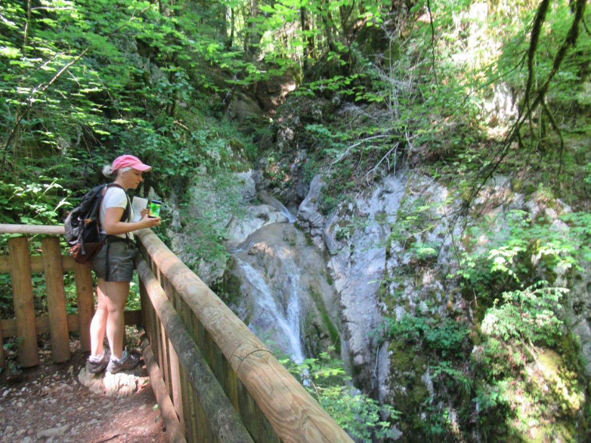
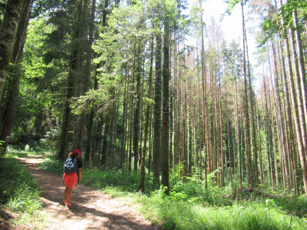
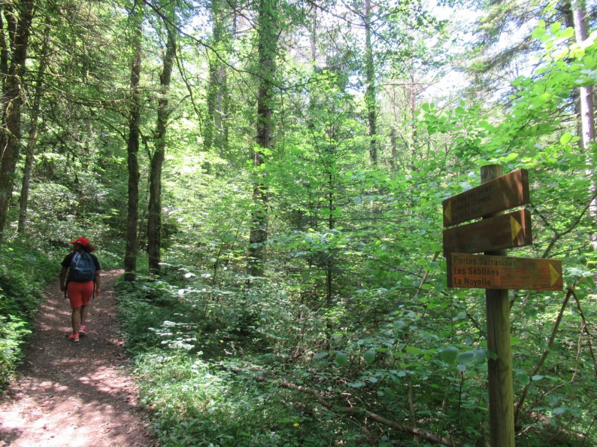
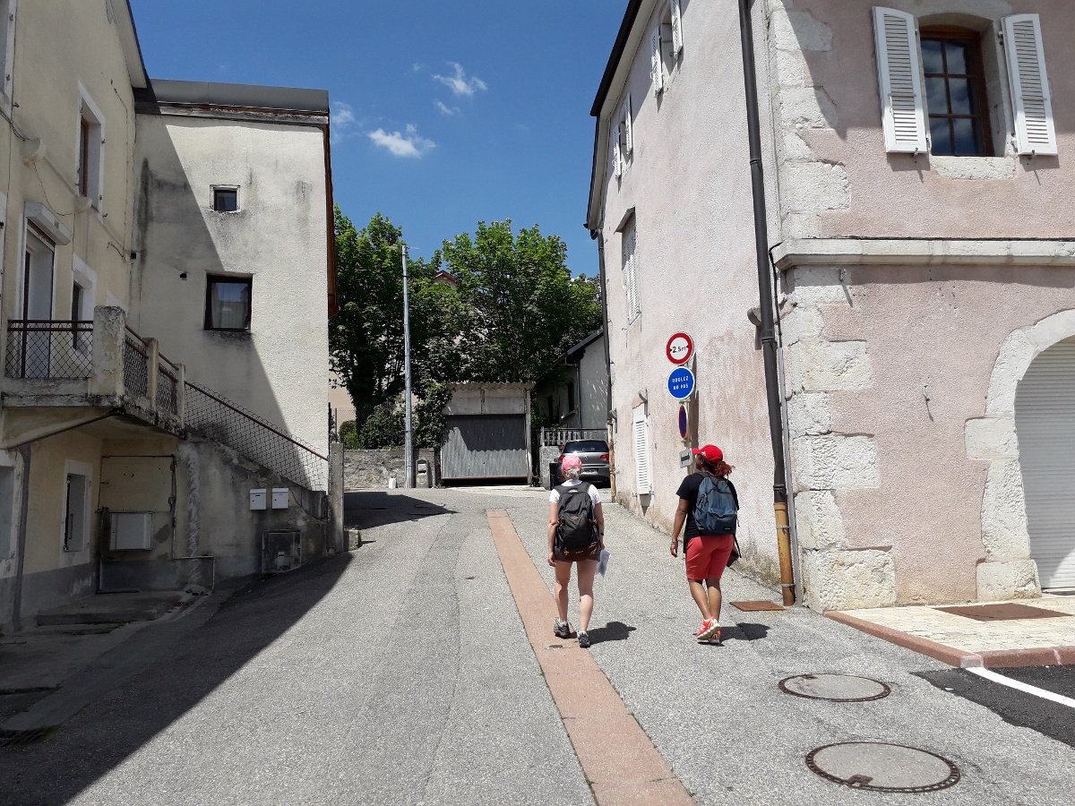
Guidebook with maps/step-by-step: From Place Perdtemps (A), stand opposite the wash-house and turn left, crossing the Col de la Faucille road. At the square, turn right onto a small road, the "des Combes" path (B), leading down to "Le Moulin" (C). End of asphalt road. Take a path to the left, then at a crow's-foot, follow the signs to "Haut des Galas" (D). Turn right onto a forest road (E) and climb up to a square (F). Continue straight ahead, guided by a wide track and then a tarmac road. At the roadside, don't miss a downhill path (G). Discover the woodcutter's wooden scupture...then the path climbs back up over the gradines (waterfall platform). Once you've reached "Les Séblines" (H), continue along the road and then down a path towards "Les portes Sarrazines" (I). Return to a footbridge (J), cross it and return to the "Moulin" before returning to Perdtemps along the same path.
More information:
Safety instructions:This trail is located in the Haute Chaîne du Jura National Nature Reserve, so please respect its regulations:Before setting off :- Check the general and local weather forecast, and make sure there's no precipitation.- Find out about the approach route, the height of the itinerary, the time it will take to complete the climb, and any possible escapes (IGN map, GPS, topo-guide, etc.).- Evaluate possible risks by asking mountain professionals, refuges and gîtes.- Inform someone close to you of your objective, and contact them again in the event of any changes: departure and return times, number of participants with telephone numbers for each, vehicle(s), parking, etc.- Avoid setting off alone, and use equipment that is suitable for the activity, adjusted and in good condition: headlamp, complete first-aid kit, survival blanket, etc.In the event of a problem, call 112 (European emergency number).
Itinerary
In detail
- Distance: 6.1 km
- Markup: BALISE
- Elevation gain : 250 m
- Negative elevation gain : 196 m
- Daily duration: 120 min
- Type of route: BOUCLE
- Beaconing accuracy: follow the yellow PR signs
- Nature of the land: Stone
- Nature of the land: Ground
- Nature of the land: Hard coating (tar, cement, flooring)
- Nature of the land: Grit
- Nature of the land: Not suitable for strollers
Opening
All year round.
Subject to favorable weather.
Rates
Free access.
Facilities & services
Facilities
- Car park
Host language(s)
- French
