
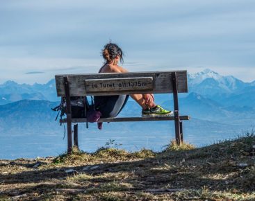


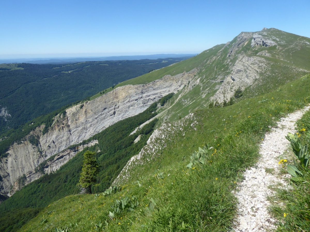
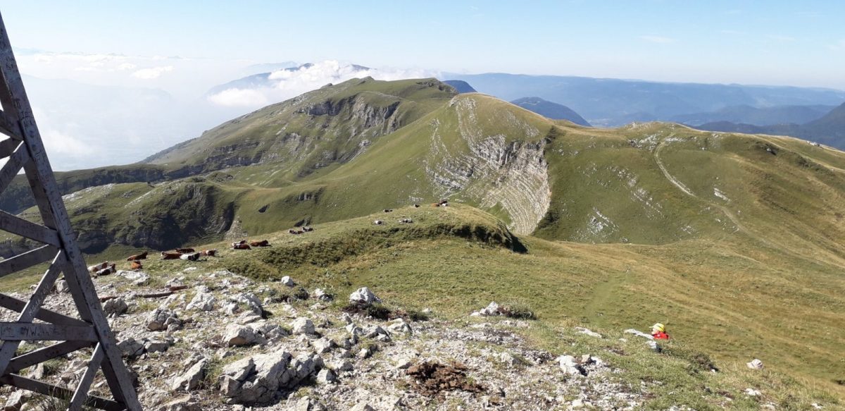
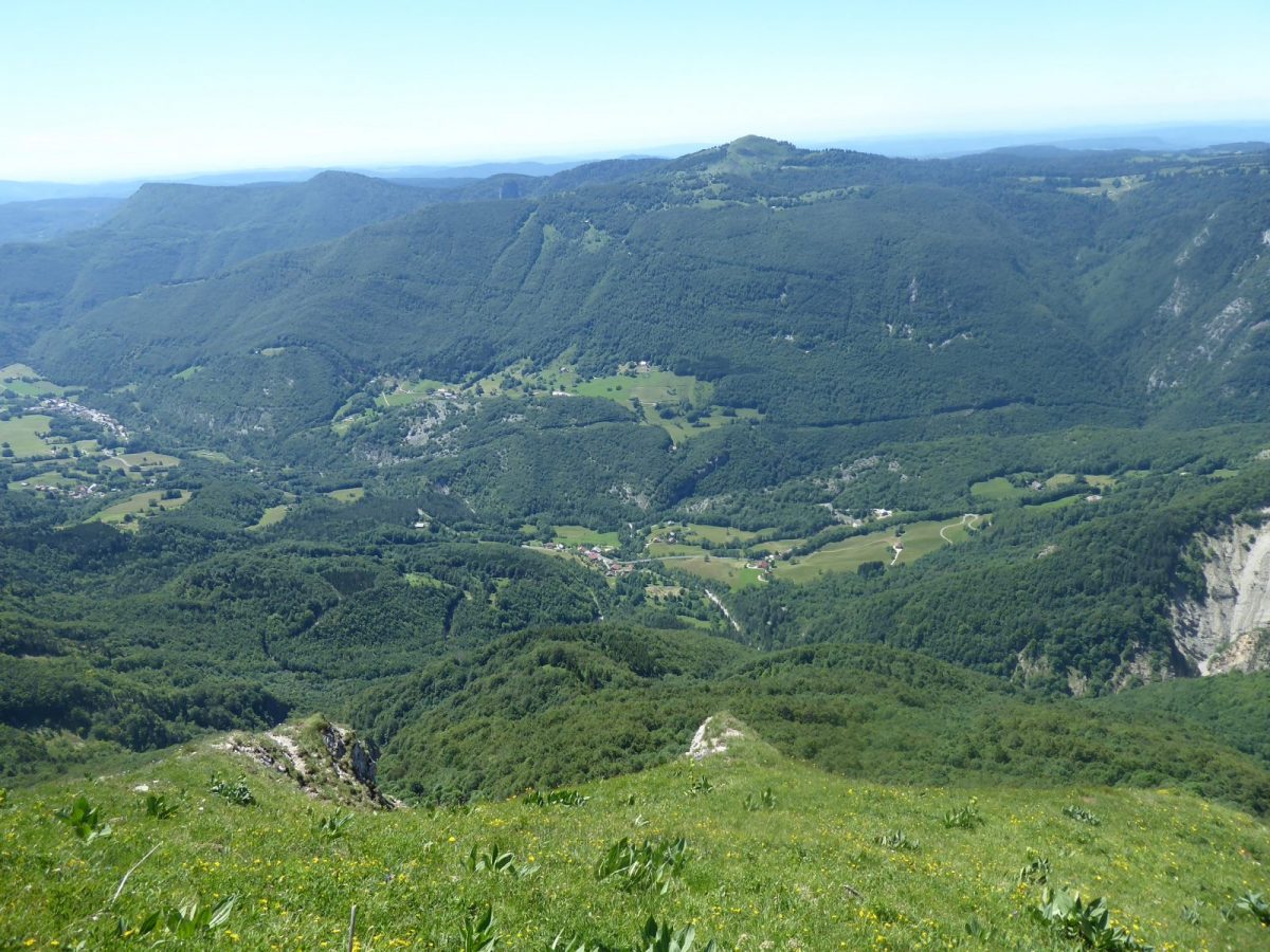

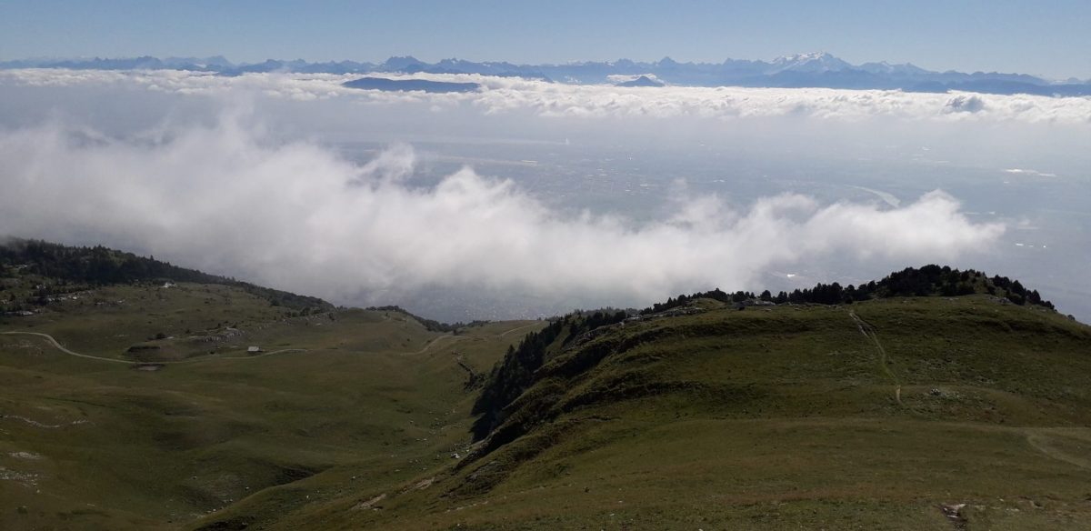
This hike, designed for good walkers, allows you to discover the Valserine valley and ridges in a picture-postcard setting.
The Reculet Cross was the brainchild of Abbé Monnet, the parish priest of Thoiry. He wanted to reaffirm the Catholic faith in the face of the Protestant and anticlerical movement in Geneva. It was made by François Nallet, a blacksmith in Thoiry.
It was transported piece by piece by four villagers (Louis and Auguste Girod, Aimé Fusier and Faustin Antonioli). It was inaugurated on July 25, 1892. From the banks of France's 1st wild river to the summit of the Haute Chaine du Jura, nature awaits you!
Part of the route lies within the Haute Chaine du Jura National Nature Reserve. Please check the regulations before setting off.
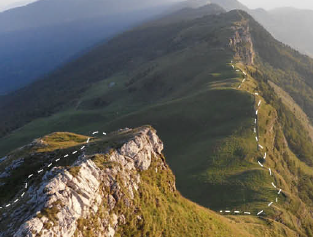
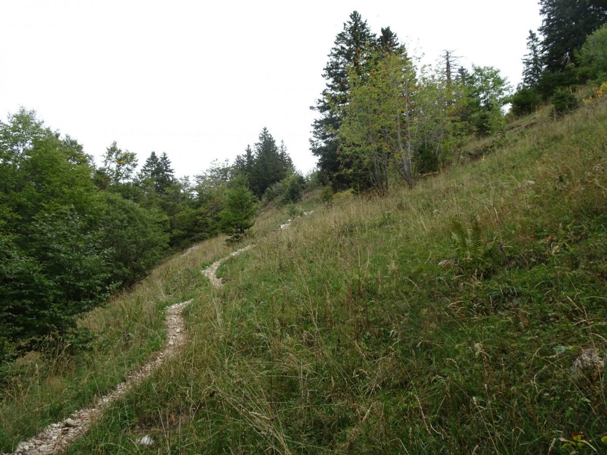
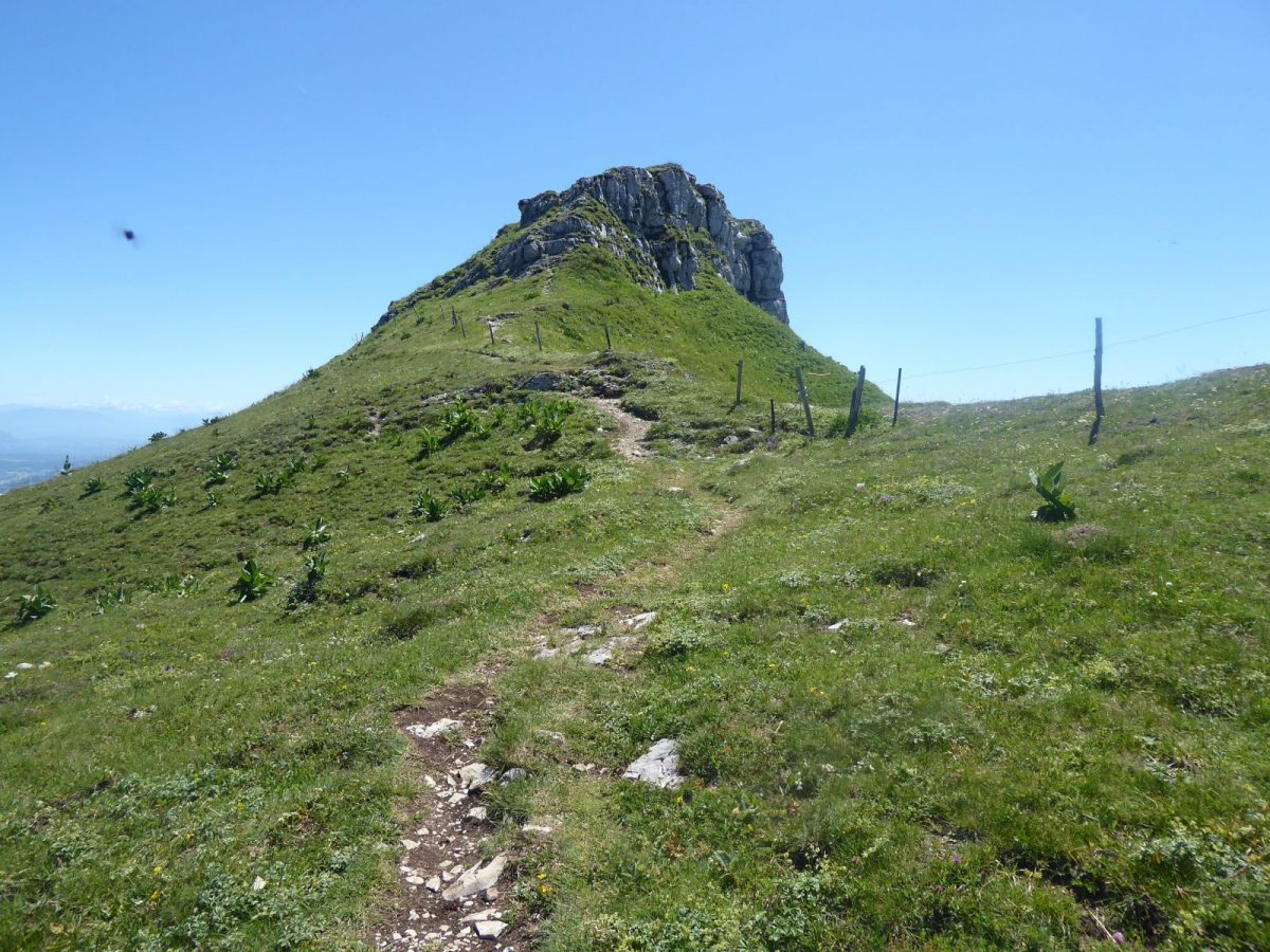
Guidebook with maps/step-by-step: From Chezery, follow the signs for "La Rivière", passing the police station.Continue in this direction, ignoring the Moulin Thomas road at a crossroads. At the hamlet of "la Rivière", cross the road and climb up to a cable-stayed footbridge over the Troubléry stream.From here, follow the signs for "Le Reculet" (note that at Verney-Dessus, the path climbs to the right of the houses). Pass the Chalets de Lachat and enter the Thoiry-Derrière mountain pasture, where the Reculet cross is visible.The climb ends on the northern ridge. Descend south along the GR. Skirt the Polvette and Capitaine alpine chalets, pass the "Pierre de la Lune" and arrive at the "Passage des Chezerands" near the Gralet chalet.A yellow-marked path immediately descends into the forest and, after crossing a forest track several times, reaches the hamlet of Rosset, La Grande Bossonaz, Bellaigue and then the village.
More information:
Before setting off:- Find out about general and local weather conditions, making sure there's no precipitation.- Find out about the approach to the route, its height, how long it will take to reach the summit and any possible escapes (IGN map, GPS, topo-guide, etc.).- Evaluate possible risks by asking mountain professionals, refuges and gîtes.- Inform someone close to you of your objective, and contact them again in the event of any changes: departure and return times, number of participants with telephone numbers for each, vehicle(s), parking, etc.- Avoid setting off alone, and use equipment that is suitable for the activity, adjusted and in good condition: headlamp, complete first-aid kit, survival blanket, etc.In the event of a problem, call 112 (European emergency number).
Itinerary
In detail
- Distance: 20 km
- Markup: BALISE
- Elevation gain : 1371 m
- Negative elevation gain : 1199 m
- Daily duration: 510 min
- Type of route: BOUCLE
Opening
From 01/04 to 30/11.
Subject to favorable snow and weather conditions.
Rates
Free access.
Facilities & services
Facilities
- Car park
- Free car park
- Public WC
Host language(s)
- French
