
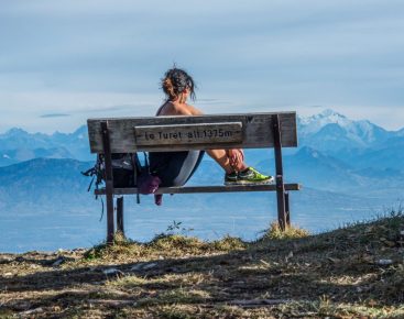


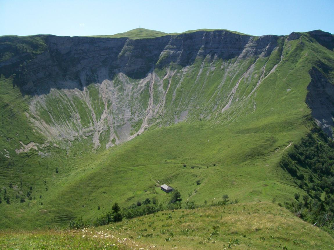
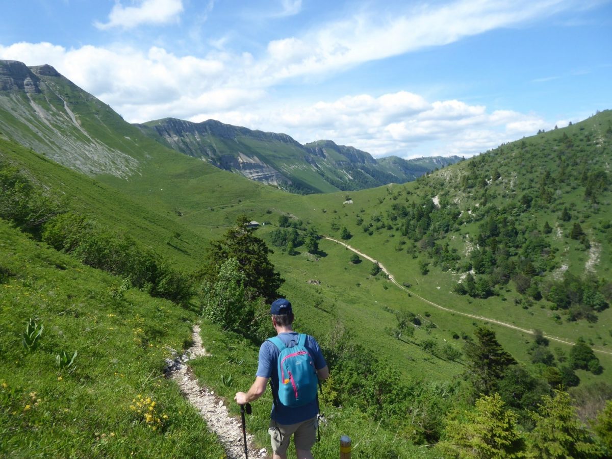
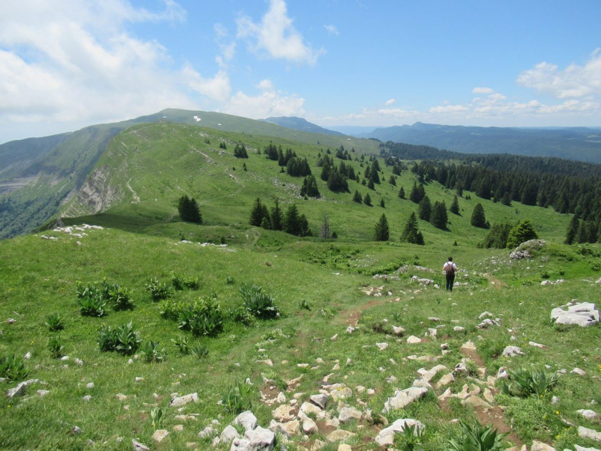
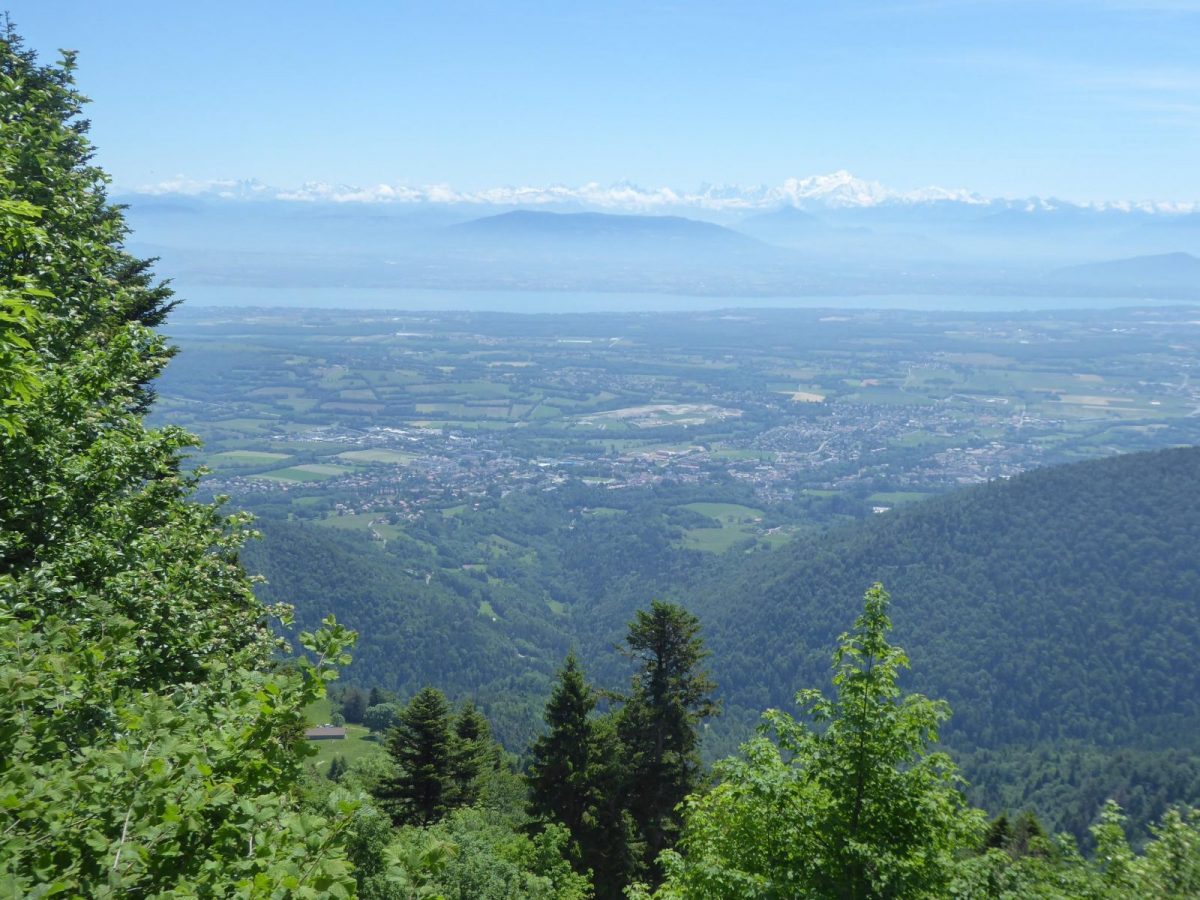
From the ridges, this hike offers a unique panorama of Lake Geneva and the Alps. The entrance to the cirque de Branveau reveals bucolic landscapes! Watch out ... the chamois are never far away!
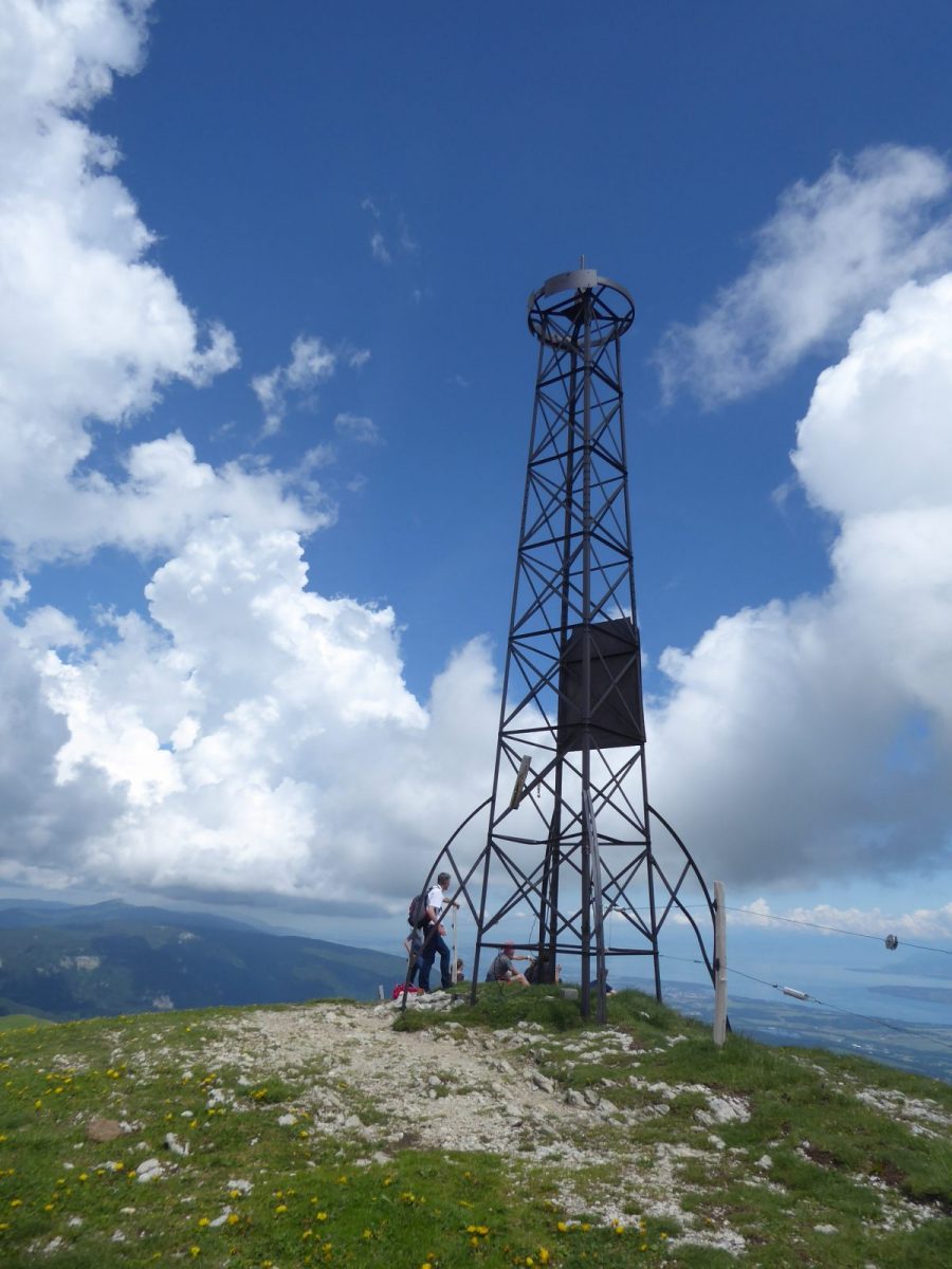
The Colomby pylon, built in Paris and then transported to Gex, was assembled and erected for the Ain Mutualité congress held in Gex in 1907. Originally, it was topped by a cupola, and the plaque recounted the event.
The route lies within the Haute Chaine du Jura National Nature Reserve. In addition, a wildlife tranquility zone is active from December 15 to May 15. As a result, the route is only accessible from May 16. Find out about the regulations before you set off.
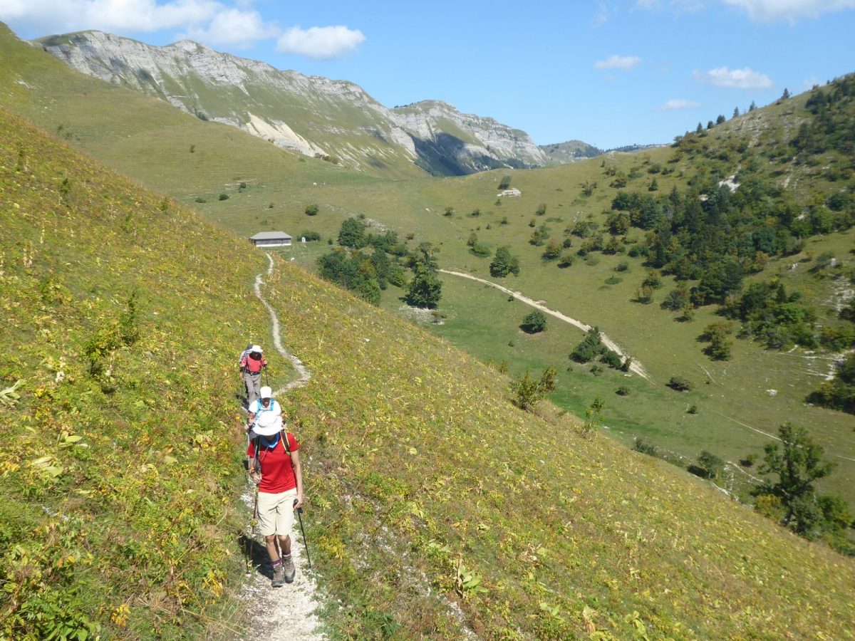
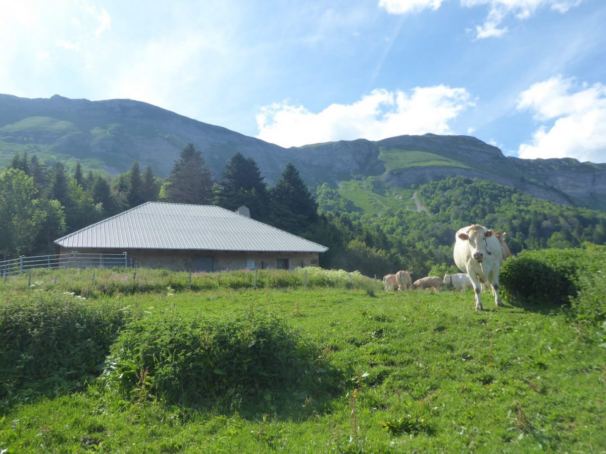
Guidebook with maps/step-by-step: From the Pailly parking lot (A), take the small tarmac road for 100m, then climb to the right along a path called "La Vie de Chaux" (closed from December 1 to May 15, and to be used with caution in late winter).The path leads to a crow's-foot (B) (with ridge path). Follow signs for "Grand Montrond/Colomby". The path leads to the Crozat mountain pasture.Reach the Chalet du Crozat (C) and turn left, following the white and red GR signs to Grand Montrond (D) and Colomby de Gex (E).Leave the GR and descend to the left, through a mountain pasture, towards Chalet de Branveau (F), following the yellow markers on the ground.A turnstile marks the entrance to the Branveau hollow. Climb above the chalet to a small pass (G), at the foot of Pas de l'Echine.Switch to the other side (Creux de l'Envers forest), via a descent that becomes more technical in the undergrowth.At the "Chemin Neuf" junction (H), turn left towards the Chalet des Platières (I).Finish the loop by first following a wide track, then at a crow's-foot (J) a path to the Chalet de la Quible (k), then reach Le Pailly.
More information:
Limited parking spaces.Safety instructions:This trail is located in the Haute Chaîne du Jura National Nature Reserve, so please respect its regulations:Before setting off :- Check the general and local weather forecast, and make sure there's no precipitation.- Find out about the approach route, the height of the itinerary, the time it will take to complete the climb, and any possible escapes (IGN map, GPS, topo-guide, etc.).- Evaluate possible risks by asking mountain professionals, refuges and gîtes.- Inform someone close to you of your objective, and contact them again in the event of any changes: departure and return times, number of participants with telephone numbers for each, vehicle(s), parking, etc.- Avoid setting off alone, and use equipment that is suitable for the activity, adjusted and in good condition: headlamp, complete first-aid kit, survival blanket, etc.In the event of a problem, call 112 (European emergency number).
Itinerary
In detail
- Distance: 14.7 km
- Markup: BALISE
- Elevation gain : 890 m
- Negative elevation gain : 838 m
- Daily duration: 360 min
- Type of route: BOUCLE
- Beaconing accuracy: Follow the yellow PR markings, then the red and white GR.
- Nature of the land: Rock
- Nature of the land: Stone
- Nature of the land: Ground
- Nature of the land: Grit
- Nature of the land: Not suitable for strollers
Opening
From 16/05 to 30/11.
Subject to favorable weather.
Rates
Free access.
Facilities & services
Facilities
- Car park
- Free car park
- Orientation board
Host language(s)
- French
