Loop
in Grilly

Hiking: Grilly – Mont Mourex

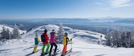
This accessible, family-friendly hike through forests and panoramic views offers a wonderful 360° view of both the Alps and the Jura from Mont Mourex.
Guidebook with maps/step-by-step

(1) From the Mont Mourex parking area, follow the yellow signs to the left, towards Vesancy. The wide, mainly wooded path descends slightly, skirting the Mont. It then branches off to the right to reach the intersection called Bois sur Roche.

(2) Turn right and continue along the forest track. Enjoy the wealth of tree species, a soothing and rejuvenating environment. Follow this path for about 300 metres to the next intersection.

(3) At the crossroads called Au Rendez-vous des Chasseurs, take a sharp right. Follow this forest track for about 1.1 km, going uphill. The path leaves the forest at the highest point
of the hike.

(4) The view from Mont Mourex is spectacular: the Lake Geneva area, the Pays de Gex, the Monts Jura and, above all, the majestic Mont Blanc. Take your time to enjoy the panorama, then head back down to the right to reach the orientation table 300m below. After the orientation table, continue to the right to complete the hike. The path leads back down to the parking lot, the starting point of this pleasant circuit around Mont Mourex.

Itinerary details

Grilly
Loop
Marked
Stone, Ground, Grit, Not suitable for strollers
Autumn, Summer, Winter, Spring
Pets are allowed
All year round.

Description

The trail passes through a pleasant forest before opening out to reveal an exceptional panorama from the Alps to the Jura. An orientation table helps you to identify the surrounding peaks. An intriguing stone circle, around 45m in diameter is presumed to have been dedicated to solar worship. At its center, a block of stone is said to have been deposited there by the Rhône glaciers during an ice age. It accentuates the enigmatic character of the site. The path descends gently through meadows.
Car parkPedestrian sportsHiking itinerary
DifficultyEasyDuration01h30Elevation111 D- / 115 D+Distance4.7 kmAltitude Max.755 m
Download

Did you find this content useful?