


Grande Traversée du Jura on foot: From Borne au Lion to Culoz
An itinerary through the Jura Mountains, from Mandeure, near Montbéliard in the Doubs in the north, to Culoz in the Ain in the south, via the Jura.
▶ Day 1: La Borne au Lion → Refuge de la Loge Distance: 11.4 km Elevation gain: 665 m / Elevation loss: 524 m Route: follow the GR: La Borne au Lion, Col du Crêt au Merle, Les Closettes, La Haute Cernaz, Le Niaizet, Pont de la Fruitière, Vieille Chapelle, Le Ratou and Refuge de la Loge.
▶ Day 2: Refuge de la Loge → Refuge de la Poutouille Distance: 15.5 km Elevation gain: 681 m / 666 m – Route: follow the GR: Refuge de la Loge, Brillone d’en Haut, Combe des Voyettes, Sous le Crêt, Crêt de la Neige, Reculet, la Plovette, Pierre de la Lune, le Gralet, Couloir du Ladet and la Poutouille.
▶ Day 3: La Poutouille → Lancrans Distance: 17.1 km Elevation gain: 614 m / 1,575 m Itinerary: follow the GR: La Poutouille, la Pelaz, la Grange Velue, Col de Menthières, Menthières, la Charnaz, la Pierre à Fromage, Crêt de la Goutte, Sorgia d’en Haut, Sorgia d’en Bas, Métral and Lancrans.
▶ Day 4: Lancrans → La Charnay Distance: 16.5 km Elevation gain: 994 m / 222 m Elevation loss Route: follow the GR: Lancrans, Perte de la Valserine, Pont de Métral, Parking des Berges, Bellegarde-sur-Valserine, Rue Lafayette, Rond-Point aux Portes de l’Ain, Rue de Mussel, Route de l’Ochiaz, Ochiaz, Catray d’en Bas, Catray, Pra Devant and La Charnay.
▶ Day 5: La Charnay → Arvières Distance: 21.1 km Elevation gain: 537 m / Elevation loss: 619 m Route: follow the GR: La Charnay, Le Tumet, Crêt du Nu, Croix des Terments, Planvanel, Golet Grand-Voie, Col de Richemond, Refuge de la Grange d’en Haut, La Grange d’en Bas, Grange de Falavier, Chalet d’Arvières.
▶ Day 6: Arvières → Culoz Distance: 19.9 km Elevation gain: 484 m / 1,424 m Elevation loss Route: follow the GR: Arvières, Sapin Daubré, Col de Charbemènes, Croix du Grand Colombier, Grand Colombier, Grange à Masse, les Granges Neuves, le Fenestrez, Romagneux, Hauteur de Culoz, Culoz and Pont de la Loi.
Itinerary details
Description
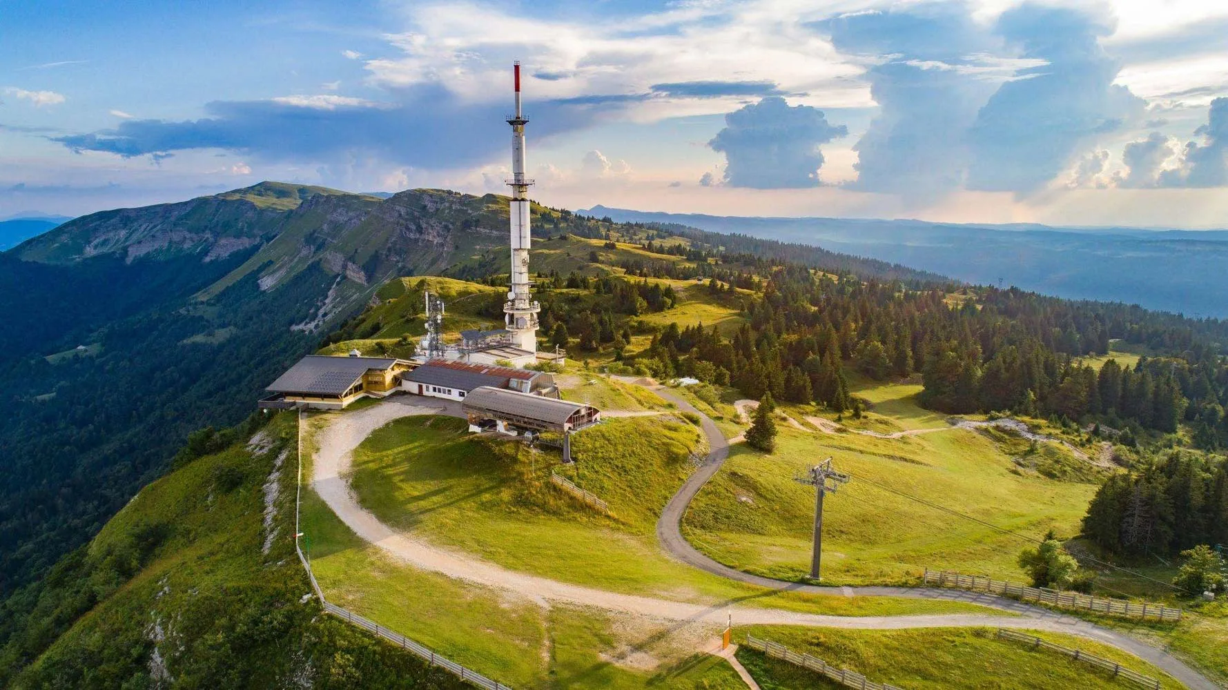
The GTJ crosses the entire Haut-Jura Regional Nature Park, with a foray into neighbouring Switzerland. Inaugurated in 2004, the GTJ on foot follows the Grande Randonnée GR® 5 and GR® 9 trails, as well as the GR® de Pays.
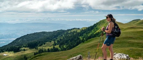
With the Grande Traversée du Jura on foot, lovers of nature and wide-open spaces will experience intense moments in a gentle mountain environment. Undulating over ridges, spanning cluses, emerging from a forest to skirt a lake, this is a gentle itinerary with no particular difficulties, taking in the most beautiful paths in the Jura Mountains.
Accessible to all, it offers a total of 400 km of trails and a multitude of different landscapes and atmospheres.
To meet every hiker’s needs, the trail can be adapted to suit every taste: from 2 to 3-day hikes well-suited to families, to walks for hikers in search of rejuvenation, to more physically demanding hikes, and why not … the complete route, to be completed in 15 or 20 days.
The route runs through the heart of the Haut-Jura Regional Nature Park, and part of it passes through the Haute Chaîne du Jura National Nature Reserve: a protected, unspoilt area that should be explored with respect.
Good to know – Protected area
Part of the route passes through the Haute Chaîne du Jura National Nature Reserve, which is subject to special regulations:
Dogs are not allowed, even on a lead.
Camping in tents is prohibited.
Please respect these rules to preserve the richness of this exceptional environment.