

88 VTTAE trails – green- La Nordique – Espace VTT FFC Ain Forestière
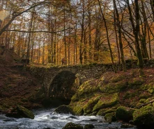
Take a stroll through the cool Turet forest and follow the lovely forest roads that criss-cross this peaceful area.
(1) From the La Vattay Nordic Center, take the forest road toward the Col de Combe Blanche.
(2) Once at the pass, descend on the other side, heading toward Divonne-les-Bains.
(3) Enjoy a beautiful descent to the Divonne hut.
(4) At the next hairpin turn, stay to the right.
(5) Turn left at the next intersection to reach the Pralet hut.
(6) From there, take the forest road on the right.
(7) The climb is gradual all the way to the Col de Combe Blanche.
(8) All that’s left is to head back down the same route to return to La Vattay.
Itinerary details
Description
This route passes through the Haute Chaîne du Jura National Nature Reserve: regulations are in effect; dogs are prohibited. It passes through a quiet zone that is closed from December 15 to June 30—the route is not accessible during this period. Please respect the regulations.
Only electric-assist mountain bikes (e-MTBs) are permitted, provided their motor assistance cuts off at speeds of 25 km/h or higher, in accordance with current regulations. Bikes equipped with an electric motor are strictly prohibited.
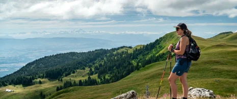
This loop begins with a gradual climb to the Col de Combe Blanche, the gateway to a forested area. Once you’ve crossed this small pass, the route becomes more undulating, alternating between gentle climbs and mild descents through a forest notable for its tranquility and coolness.
The forest roads you’ll ride on are pleasant and well-maintained, ideal for a leisurely ride, whether alone or with the family.
An accessible ride that combines nature, tranquility, and varied terrain—perfect for discovering another side of the Jura.